Crowheart Topo Map Wyoming
To zoom in, hover over the map of Crowheart
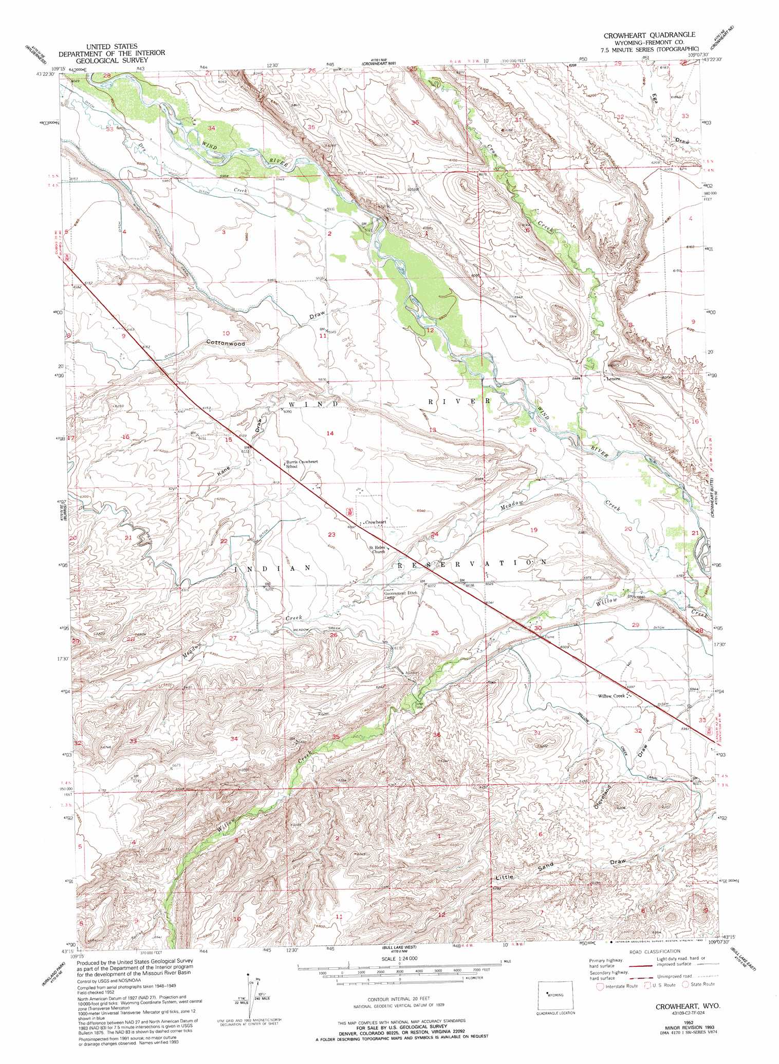
USGS Topo Quad 43109c2 - 1:24,000 scale
| Topo Map Name: | Crowheart |
| USGS Topo Quad ID: | 43109c2 |
| Print Size: | ca. 21 1/4" wide x 27" high |
| Southeast Coordinates: | 43.25° N latitude / 109.125° W longitude |
| Map Center Coordinates: | 43.3125° N latitude / 109.1875° W longitude |
| U.S. State: | WY |
| Filename: | o43109c2.jpg |
| Download Map JPG Image: | Crowheart topo map 1:24,000 scale |
| Map Type: | Topographic |
| Topo Series: | 7.5´ |
| Map Scale: | 1:24,000 |
| Source of Map Images: | United States Geological Survey (USGS) |
| Alternate Map Versions: |
Crowheart WY 1952, updated 1954 Download PDF Buy paper map Crowheart WY 1952, updated 1977 Download PDF Buy paper map Crowheart WY 1952, updated 1993 Download PDF Buy paper map Crowheart WY 2012 Download PDF Buy paper map Crowheart WY 2015 Download PDF Buy paper map |
1:24,000 Topo Quads surrounding Crowheart
Bain Draw |
Crow Mountain |
Johnson Draw |
Circle Ridge |
Antelope Ridge |
Blue Holes |
Wilderness |
Crowheart Nw |
Crowheart Ne |
Maverick Spring |
Hays Park |
Burris |
Crowheart |
Crowheart Butte |
Lookout Butte Sw |
Bob Lakes |
Kirkland Park |
Bull Lake West |
Bull Lake East |
Argo Butte |
Alpine Lake |
Paradise Basin |
Saint Lawrence Basin |
Wise Flat |
Fort Washakie |
> Back to 43109a1 at 1:100,000 scale
> Back to 43108a1 at 1:250,000 scale
> Back to U.S. Topo Maps home
Crowheart topo map: Gazetteer
Crowheart: Canals
Meadow Creek Canal elevation 1885m 6184′Willow Creek Canal elevation 1843m 6046′
Wind River Canal elevation 1841m 6040′
Crowheart: Populated Places
Crowheart elevation 1858m 6095′Willow Creek elevation 1830m 6003′
Crowheart: Streams
Crow Creek elevation 1778m 5833′Dry Creek elevation 1801m 5908′
Meadow Creek elevation 1767m 5797′
Spring Creek elevation 1963m 6440′
Crowheart: Valleys
Cottonwood Draw elevation 1792m 5879′Kane Draw elevation 1781m 5843′
Crowheart digital topo map on disk
Buy this Crowheart topo map showing relief, roads, GPS coordinates and other geographical features, as a high-resolution digital map file on DVD: