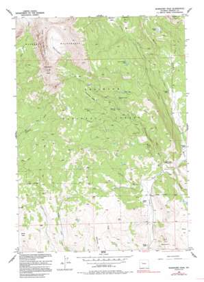
Ramshorn Peak Topo Map Wyoming
To zoom in, hover over the map of Ramshorn Peak
USGS Topo Quad 43109f6 - 1:24,000 scale
| Topo Map Name: | Ramshorn Peak |
| USGS Topo Quad ID: | 43109f6 |
| Print Size: | ca. 21 1/4" wide x 27" high |
| Southeast Coordinates: | 43.625° N latitude / 109.625° W longitude |
| Map Center Coordinates: | 43.6875° N latitude / 109.6875° W longitude |
| U.S. State: | WY |
| Filename: | o43109f6.jpg |
| Download Map JPG Image: | Ramshorn Peak topo map 1:24,000 scale |
| Map Type: | Topographic |
| Topo Series: | 7.5´ |
| Map Scale: | 1:24,000 |
| Source of Map Images: | United States Geological Survey (USGS) |
| Alternate Map Versions: |
Ramshorn Peak WY 1956, updated 1958 Download PDF Buy paper map Ramshorn Peak WY 1956, updated 1963 Download PDF Buy paper map Ramshorn Peak WY 1956, updated 1984 Download PDF Buy paper map Ramshorn Peak WY 1956, updated 1995 Download PDF Buy paper map Ramshorn Peak WY 1991, updated 1997 Download PDF Buy paper map Ramshorn Peak WY 2012 Download PDF Buy paper map Ramshorn Peak WY 2015 Download PDF Buy paper map |
| FStopo: | US Forest Service topo Ramshorn Peak is available: Download FStopo PDF Download FStopo TIF |
1:24,000 Topo Quads surrounding Ramshorn Peak
> Back to 43109e1 at 1:100,000 scale
> Back to 43108a1 at 1:250,000 scale
> Back to U.S. Topo Maps home
Ramshorn Peak topo map: Gazetteer
Ramshorn Peak: Basins
Ramshorn Basin elevation 2786m 9140′Ramshorn Peak: Flats
Amoretti Park elevation 2795m 9169′Deacon Flat elevation 2417m 7929′
Deacon Meadows elevation 2511m 8238′
Ramshorn Peak: Gaps
White Pass elevation 2468m 8097′Ramshorn Peak: Lakes
Burnt Timber Lake elevation 2839m 9314′Carson Lake elevation 2566m 8418′
Rainbow Lake elevation 2730m 8956′
Ramshorn Lakes elevation 2830m 9284′
Virgin Lake elevation 2800m 9186′
Ramshorn Peak: Streams
Brent Creek elevation 2379m 7805′Burroughs Creek elevation 2353m 7719′
Parque Creek elevation 2453m 8047′
Ramshorn Peak: Summits
Battrum Mountain elevation 2541m 8336′E A Mountain elevation 2589m 8494′
Ramshorn Peak elevation 3509m 11512′
Ramshorn Peak: Trails
Burroughs Creek Trail elevation 2622m 8602′Parque Creek Trail elevation 2677m 8782′
Ramshorn Trail elevation 2882m 9455′
Ramshorn Peak digital topo map on disk
Buy this Ramshorn Peak topo map showing relief, roads, GPS coordinates and other geographical features, as a high-resolution digital map file on DVD:


