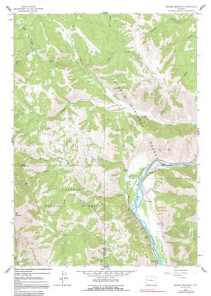
Munger Mountain Topo Map Wyoming
To zoom in, hover over the map of Munger Mountain
USGS Topo Quad 43110c7 - 1:24,000 scale
| Topo Map Name: | Munger Mountain |
| USGS Topo Quad ID: | 43110c7 |
| Print Size: | ca. 21 1/4" wide x 27" high |
| Southeast Coordinates: | 43.25° N latitude / 110.75° W longitude |
| Map Center Coordinates: | 43.3125° N latitude / 110.8125° W longitude |
| U.S. State: | WY |
| Filename: | o43110c7.jpg |
| Download Map JPG Image: | Munger Mountain topo map 1:24,000 scale |
| Map Type: | Topographic |
| Topo Series: | 7.5´ |
| Map Scale: | 1:24,000 |
| Source of Map Images: | United States Geological Survey (USGS) |
| Alternate Map Versions: |
Munger Mountain WY 1963, updated 1966 Download PDF Buy paper map Munger Mountain WY 1963, updated 1992 Download PDF Buy paper map Munger Mountain WY 1996, updated 1998 Download PDF Buy paper map Munger Mountain WY 2012 Download PDF Buy paper map Munger Mountain WY 2015 Download PDF Buy paper map |
| FStopo: | US Forest Service topo Munger Mountain is available: Download FStopo PDF Download FStopo TIF |
1:24,000 Topo Quads surrounding Munger Mountain
> Back to 43110a1 at 1:100,000 scale
> Back to 43110a1 at 1:250,000 scale
> Back to U.S. Topo Maps home
Munger Mountain topo map: Gazetteer
Munger Mountain: Flats
Johnny Counts Flat elevation 1790m 5872′Red Top Meadows elevation 1992m 6535′
Munger Mountain: Gaps
Pritchard Pass elevation 1994m 6541′Munger Mountain: Lakes
Pritchard Pond elevation 1781m 5843′Munger Mountain: Populated Places
Hoback elevation 1794m 5885′Munger Mountain: Springs
Astoria Minerial Hot Springs elevation 1787m 5862′Munger Mountain: Streams
Coburn Creek elevation 1912m 6272′Dog Creek elevation 1781m 5843′
Little Dog Creek elevation 1930m 6332′
North Fork Fall Creek elevation 1978m 6489′
Pritchard Creek elevation 1781m 5843′
Pup Creek elevation 1966m 6450′
Rock Creek elevation 1927m 6322′
Sawpit Creek elevation 1789m 5869′
South Cabin Creek elevation 1897m 6223′
South Fork Fall Creek elevation 1978m 6489′
Munger Mountain: Summits
Munger Mountain elevation 2528m 8293′Munger Mountain: Valleys
Beaver Dam Canyon elevation 1843m 6046′Bohnetts Canyon elevation 1850m 6069′
Munger Mountain digital topo map on disk
Buy this Munger Mountain topo map showing relief, roads, GPS coordinates and other geographical features, as a high-resolution digital map file on DVD:


