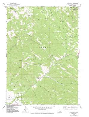
Stouts Mountain Topo Map Idaho
To zoom in, hover over the map of Stouts Mountain
USGS Topo Quad 43111e3 - 1:24,000 scale
| Topo Map Name: | Stouts Mountain |
| USGS Topo Quad ID: | 43111e3 |
| Print Size: | ca. 21 1/4" wide x 27" high |
| Southeast Coordinates: | 43.5° N latitude / 111.25° W longitude |
| Map Center Coordinates: | 43.5625° N latitude / 111.3125° W longitude |
| U.S. State: | ID |
| Filename: | o43111e3.jpg |
| Download Map JPG Image: | Stouts Mountain topo map 1:24,000 scale |
| Map Type: | Topographic |
| Topo Series: | 7.5´ |
| Map Scale: | 1:24,000 |
| Source of Map Images: | United States Geological Survey (USGS) |
| Alternate Map Versions: |
Stouts Mtn ID 1977, updated 1978 Download PDF Buy paper map Stouts Mtn ID 1977, updated 1978 Download PDF Buy paper map Stouts Mountain ID 2011 Download PDF Buy paper map Stouts Mountain ID 2013 Download PDF Buy paper map |
| FStopo: | US Forest Service topo Stouts Mountain is available: Download FStopo PDF Download FStopo TIF |
1:24,000 Topo Quads surrounding Stouts Mountain
> Back to 43111e1 at 1:100,000 scale
> Back to 43110a1 at 1:250,000 scale
> Back to U.S. Topo Maps home
Stouts Mountain topo map: Gazetteer
Stouts Mountain: Springs
Cold Spring elevation 2381m 7811′Dry Canyon Spring elevation 1856m 6089′
McCoullock Spring elevation 2123m 6965′
Roy Farnes Spring elevation 2235m 7332′
Stouts Mountain: Streams
Chicken Creek elevation 2012m 6601′Corral Creek elevation 1876m 6154′
Gopher Creek elevation 1842m 6043′
Holter Creek elevation 1989m 6525′
Lookingglass Creek elevation 2056m 6745′
No Cut Timber Creek elevation 1761m 5777′
North Fork Pine Creek elevation 1816m 5958′
Poison Creek elevation 1794m 5885′
Red Creek elevation 1905m 6250′
Station Creek elevation 1914m 6279′
West Pine Creek elevation 1793m 5882′
Wolf Creek elevation 1679m 5508′
Stouts Mountain: Summits
Chicken Peak elevation 2544m 8346′Liars Peak elevation 2639m 8658′
Stouts Mountain elevation 2593m 8507′
Stouts Mountain: Valleys
Beckman Canyon elevation 1708m 5603′Burnt Canyon elevation 2103m 6899′
Canal Canyon elevation 1755m 5757′
Cave Canyon elevation 2055m 6742′
Dry Fork elevation 1927m 6322′
Fleming Canyon elevation 1777m 5830′
Flume Canyon elevation 1756m 5761′
Gopher Canyon elevation 1867m 6125′
Mike Spencer Canyon elevation 1778m 5833′
No Cut Timber Canyon elevation 1781m 5843′
Number Cut Timber Canyon elevation 1761m 5777′
Snowslide Gulch elevation 1957m 6420′
Tie Canyon elevation 1858m 6095′
Trail Canyon elevation 1997m 6551′
Stouts Mountain digital topo map on disk
Buy this Stouts Mountain topo map showing relief, roads, GPS coordinates and other geographical features, as a high-resolution digital map file on DVD:


