Antelope Lake Topo Map Idaho
To zoom in, hover over the map of Antelope Lake
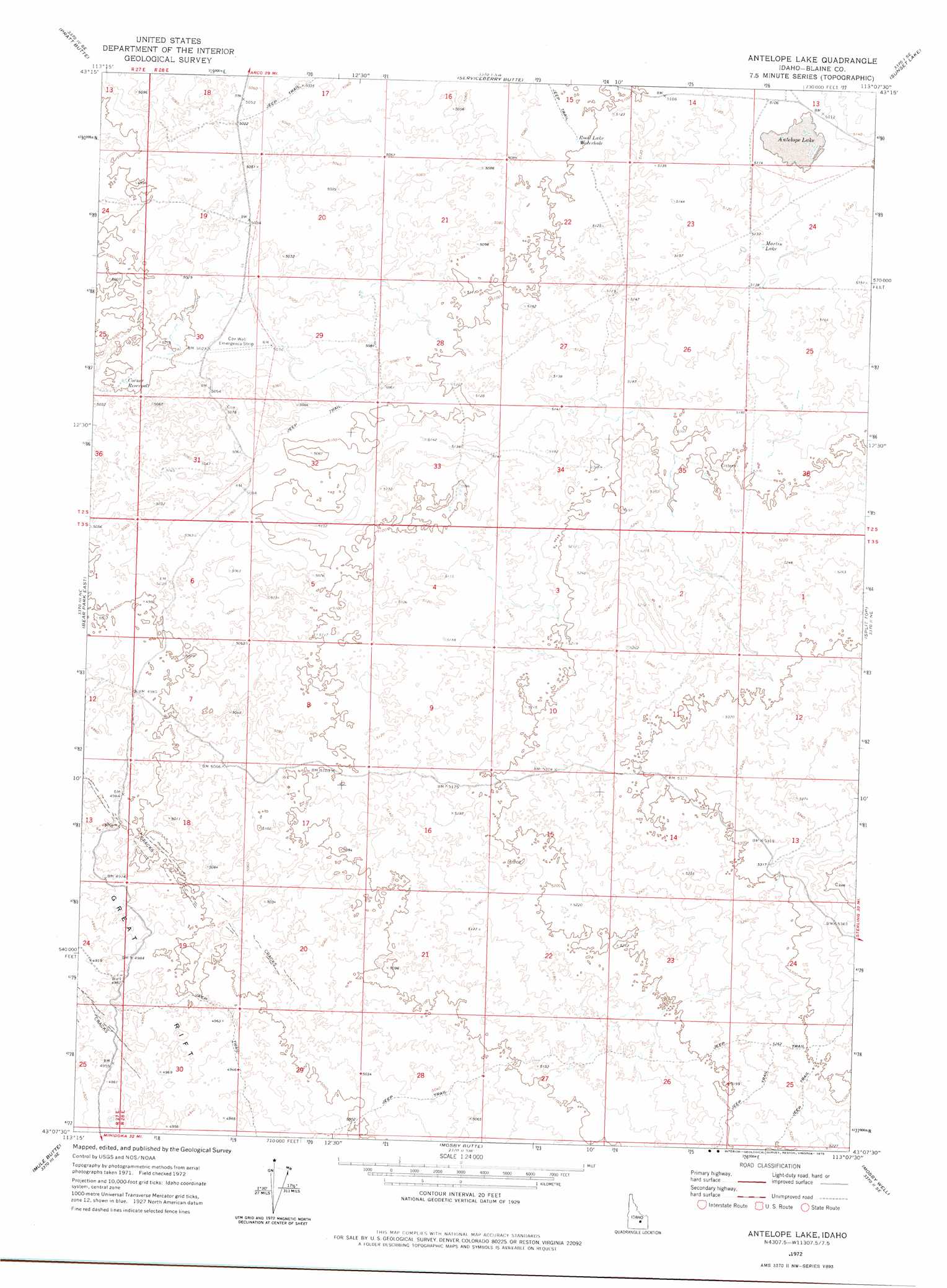
USGS Topo Quad 43113b2 - 1:24,000 scale
| Topo Map Name: | Antelope Lake |
| USGS Topo Quad ID: | 43113b2 |
| Print Size: | ca. 21 1/4" wide x 27" high |
| Southeast Coordinates: | 43.125° N latitude / 113.125° W longitude |
| Map Center Coordinates: | 43.1875° N latitude / 113.1875° W longitude |
| U.S. State: | ID |
| Filename: | o43113b2.jpg |
| Download Map JPG Image: | Antelope Lake topo map 1:24,000 scale |
| Map Type: | Topographic |
| Topo Series: | 7.5´ |
| Map Scale: | 1:24,000 |
| Source of Map Images: | United States Geological Survey (USGS) |
| Alternate Map Versions: |
Antelope Lake ID 1972, updated 1975 Download PDF Buy paper map Antelope Lake ID 2010 Download PDF Buy paper map Antelope Lake ID 2013 Download PDF Buy paper map |
1:24,000 Topo Quads surrounding Antelope Lake
The Watchman |
Fingers Butte |
Quaking Aspen Butte |
Big Southern Butte |
Scoville |
Fissure Butte |
Pratt Butte |
Serviceberry Butte |
Sunset Lake |
Rock Butte |
Bear Park West |
Bear Park East |
Antelope Lake |
Split Top |
Coffee Point |
Bear Park Sw |
Mule Butte |
Mosby Butte |
Mosby Well |
Coffee Point Sw |
Brigham Point |
Bear Trap Cave |
Pillar Butte |
Pillar Butte Ne |
American Falls Nw |
> Back to 43113a1 at 1:100,000 scale
> Back to 43112a1 at 1:250,000 scale
> Back to U.S. Topo Maps home
Antelope Lake topo map: Gazetteer
Antelope Lake: Airports
Coxs Well Airport elevation 1531m 5022′Antelope Lake: Lakes
Antelope Lake elevation 1562m 5124′Martin Lake elevation 1567m 5141′
Road Lake Waterhole elevation 1555m 5101′
Antelope Lake: Reservoirs
Corner Reservoir elevation 1525m 5003′Antelope Lake digital topo map on disk
Buy this Antelope Lake topo map showing relief, roads, GPS coordinates and other geographical features, as a high-resolution digital map file on DVD: