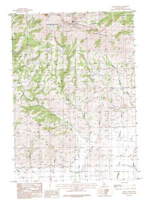
Smoky Dome Topo Map Idaho
To zoom in, hover over the map of Smoky Dome
USGS Topo Quad 43114d8 - 1:24,000 scale
| Topo Map Name: | Smoky Dome |
| USGS Topo Quad ID: | 43114d8 |
| Print Size: | ca. 21 1/4" wide x 27" high |
| Southeast Coordinates: | 43.375° N latitude / 114.875° W longitude |
| Map Center Coordinates: | 43.4375° N latitude / 114.9375° W longitude |
| U.S. State: | ID |
| Filename: | o43114d8.jpg |
| Download Map JPG Image: | Smoky Dome topo map 1:24,000 scale |
| Map Type: | Topographic |
| Topo Series: | 7.5´ |
| Map Scale: | 1:24,000 |
| Source of Map Images: | United States Geological Survey (USGS) |
| Alternate Map Versions: |
Smoky Dome ID 1986, updated 1986 Download PDF Buy paper map Smoky Dome ID 2011 Download PDF Buy paper map Smoky Dome ID 2013 Download PDF Buy paper map |
| FStopo: | US Forest Service topo Smoky Dome is available: Download FStopo PDF Download FStopo TIF |
1:24,000 Topo Quads surrounding Smoky Dome
> Back to 43114a1 at 1:100,000 scale
> Back to 43114a1 at 1:250,000 scale
> Back to U.S. Topo Maps home
Smoky Dome topo map: Gazetteer
Smoky Dome: Springs
Hot Spring elevation 1574m 5164′Smoky Dome: Streams
East Fork Corral Creek elevation 1590m 5216′McMahan Creek elevation 1570m 5150′
Rough Creek elevation 1696m 5564′
West Fork Corral Creek elevation 1590m 5216′
West Fork Threemile Creek elevation 1570m 5150′
Smoky Dome: Summits
Sheep Point elevation 2118m 6948′Smoky Dome elevation 3059m 10036′
Smoky Dome digital topo map on disk
Buy this Smoky Dome topo map showing relief, roads, GPS coordinates and other geographical features, as a high-resolution digital map file on DVD:


