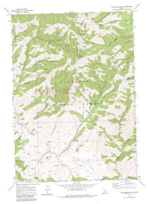
Dollarhide Mountain Topo Map Idaho
To zoom in, hover over the map of Dollarhide Mountain
USGS Topo Quad 43114e6 - 1:24,000 scale
| Topo Map Name: | Dollarhide Mountain |
| USGS Topo Quad ID: | 43114e6 |
| Print Size: | ca. 21 1/4" wide x 27" high |
| Southeast Coordinates: | 43.5° N latitude / 114.625° W longitude |
| Map Center Coordinates: | 43.5625° N latitude / 114.6875° W longitude |
| U.S. State: | ID |
| Filename: | o43114e6.jpg |
| Download Map JPG Image: | Dollarhide Mountain topo map 1:24,000 scale |
| Map Type: | Topographic |
| Topo Series: | 7.5´ |
| Map Scale: | 1:24,000 |
| Source of Map Images: | United States Geological Survey (USGS) |
| Alternate Map Versions: |
Dollarhide Mtn ID 1970, updated 1973 Download PDF Buy paper map Dollarhide Mountain ID 2011 Download PDF Buy paper map Dollarhide Mountain ID 2013 Download PDF Buy paper map |
| FStopo: | US Forest Service topo Dollarhide Mountain is available: Download FStopo PDF Download FStopo TIF |
1:24,000 Topo Quads surrounding Dollarhide Mountain
> Back to 43114e1 at 1:100,000 scale
> Back to 43114a1 at 1:250,000 scale
> Back to U.S. Topo Maps home
Dollarhide Mountain topo map: Gazetteer
Dollarhide Mountain: Areas
Rives Placer (historical) elevation 1939m 6361′Rollins Placer (historical) elevation 1998m 6555′
Dollarhide Mountain: Flats
Ditto Flat elevation 2067m 6781′Dollarhide Mountain: Mines
Alma Mine elevation 2129m 6984′Carrie Leonard Mine elevation 2390m 7841′
Galore Mine elevation 2248m 7375′
Horn Silver Mine elevation 2173m 7129′
King of the West Mine elevation 2263m 7424′
Last Chance Mine elevation 2414m 7919′
Silver Star Mine elevation 2439m 8001′
Tyrannis Mine elevation 2188m 7178′
Dollarhide Mountain: Populated Places
Carrietown elevation 2265m 7431′Dollarhide Mountain: Streams
Basalt Creek elevation 1939m 6361′Blackhorse Creek elevation 1893m 6210′
Camp Creek elevation 1991m 6532′
Devils Dive Creek elevation 1780m 5839′
King of the West Creek elevation 1986m 6515′
Liberal Creek elevation 1964m 6443′
Pine Creek elevation 2097m 6879′
Red Rock Creek elevation 1879m 6164′
Sawmill Creek elevation 2044m 6706′
Sheep Creek elevation 2001m 6564′
Stovepipe Creek elevation 1909m 6263′
Tyrannis Creek elevation 1935m 6348′
West Fork Willow Creek elevation 1873m 6145′
Dollarhide Mountain: Summits
Dollarhide Mountain elevation 2819m 9248′Dollarhide Summit elevation 2653m 8704′
Shaw Mountain elevation 2931m 9616′
Dollarhide Mountain: Valleys
Bear Gulch elevation 1877m 6158′Packer Gulch elevation 2405m 7890′
White Rag Gulch elevation 1991m 6532′
Dollarhide Mountain digital topo map on disk
Buy this Dollarhide Mountain topo map showing relief, roads, GPS coordinates and other geographical features, as a high-resolution digital map file on DVD:


