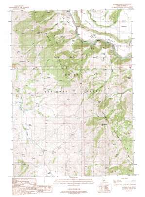
Danskin Peak Topo Map Idaho
To zoom in, hover over the map of Danskin Peak
USGS Topo Quad 43115d6 - 1:24,000 scale
| Topo Map Name: | Danskin Peak |
| USGS Topo Quad ID: | 43115d6 |
| Print Size: | ca. 21 1/4" wide x 27" high |
| Southeast Coordinates: | 43.375° N latitude / 115.625° W longitude |
| Map Center Coordinates: | 43.4375° N latitude / 115.6875° W longitude |
| U.S. State: | ID |
| Filename: | o43115d6.jpg |
| Download Map JPG Image: | Danskin Peak topo map 1:24,000 scale |
| Map Type: | Topographic |
| Topo Series: | 7.5´ |
| Map Scale: | 1:24,000 |
| Source of Map Images: | United States Geological Survey (USGS) |
| Alternate Map Versions: |
Danskin Peak ID 1990, updated 1991 Download PDF Buy paper map Danskin Peak ID 2011 Download PDF Buy paper map Danskin Peak ID 2013 Download PDF Buy paper map |
| FStopo: | US Forest Service topo Danskin Peak is available: Download FStopo PDF Download FStopo TIF |
1:24,000 Topo Quads surrounding Danskin Peak
> Back to 43115a1 at 1:100,000 scale
> Back to 43114a1 at 1:250,000 scale
> Back to U.S. Topo Maps home
Danskin Peak topo map: Gazetteer
Danskin Peak: Basins
Devils Hole elevation 1182m 3877′Danskin Peak: Flats
Ballinger Flat elevation 1414m 4639′Cougar Flat elevation 1174m 3851′
Little Fiddler Flat elevation 1184m 3884′
Danskin Peak: Lakes
Danskin Lake elevation 1695m 5561′Danskin Peak: Populated Places
Steamboat Rock elevation 1366m 4481′Danskin Peak: Ranges
Danskin Mountains elevation 1520m 4986′Danskin Peak: Springs
Cold Spring elevation 1386m 4547′Iron Spring elevation 1446m 4744′
Mud Spring elevation 1371m 4498′
Tommy Field Spring elevation 1177m 3861′
Danskin Peak: Streams
Bounds Creek elevation 1104m 3622′Case Creek elevation 1349m 4425′
Devils Hole Creek elevation 1062m 3484′
Hell Hole Creek elevation 1081m 3546′
Little Fiddler Creek elevation 1039m 3408′
Packsaddle Creek elevation 1365m 4478′
Pole Creek elevation 1053m 3454′
Salt Creek elevation 1264m 4146′
Danskin Peak: Summits
Danskin Peak elevation 2032m 6666′Little Fiddler elevation 1771m 5810′
Danskin Peak: Valleys
Black Canyon elevation 1393m 4570′Cherry Gulch elevation 1351m 4432′
Long Gulch elevation 1343m 4406′
Raspberry Gulch elevation 1106m 3628′
Timber Gulch elevation 1147m 3763′
Danskin Peak digital topo map on disk
Buy this Danskin Peak topo map showing relief, roads, GPS coordinates and other geographical features, as a high-resolution digital map file on DVD:


