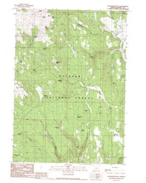
Telephone Butte Topo Map Oregon
To zoom in, hover over the map of Telephone Butte
USGS Topo Quad 43118g7 - 1:24,000 scale
| Topo Map Name: | Telephone Butte |
| USGS Topo Quad ID: | 43118g7 |
| Print Size: | ca. 21 1/4" wide x 27" high |
| Southeast Coordinates: | 43.75° N latitude / 118.75° W longitude |
| Map Center Coordinates: | 43.8125° N latitude / 118.8125° W longitude |
| U.S. State: | OR |
| Filename: | o43118g7.jpg |
| Download Map JPG Image: | Telephone Butte topo map 1:24,000 scale |
| Map Type: | Topographic |
| Topo Series: | 7.5´ |
| Map Scale: | 1:24,000 |
| Source of Map Images: | United States Geological Survey (USGS) |
| Alternate Map Versions: |
Telephone Butte OR 1990, updated 1990 Download PDF Buy paper map Telephone Butte OR 1999, updated 2002 Download PDF Buy paper map Telephone Butte OR 2011 Download PDF Buy paper map Telephone Butte OR 2014 Download PDF Buy paper map |
| FStopo: | US Forest Service topo Telephone Butte is available: Download FStopo PDF Download FStopo TIF |
1:24,000 Topo Quads surrounding Telephone Butte
> Back to 43118e1 at 1:100,000 scale
> Back to 43118a1 at 1:250,000 scale
> Back to U.S. Topo Maps home
Telephone Butte topo map: Gazetteer
Telephone Butte: Flats
Cabin Meadow elevation 1639m 5377′Call Meadow elevation 1639m 5377′
Haystack Meadow elevation 1692m 5551′
Perry Meadows elevation 1617m 5305′
Telephone Butte: Springs
Black Rock Spring elevation 1805m 5921′Cochran Spring elevation 1596m 5236′
Harney Road Spring elevation 1718m 5636′
Ideal Spring elevation 1594m 5229′
Juniper Flat Spring elevation 1679m 5508′
Kendall Spring elevation 1685m 5528′
Lems Spring elevation 1766m 5793′
Miller Spring elevation 1652m 5419′
Mud Spring elevation 1782m 5846′
Nichols Spring elevation 1672m 5485′
P and P Spring elevation 1809m 5935′
Patterson Spring elevation 1719m 5639′
R T Spring elevation 1738m 5702′
Sage Spring elevation 1726m 5662′
Sheep Spring elevation 1752m 5748′
Telephone Spring elevation 1790m 5872′
Two-Bit Spring elevation 1628m 5341′
Telephone Butte: Streams
Alkali Creek elevation 1504m 4934′Beaverdam Creek elevation 1515m 4970′
Middle Fork Rattlesnake Creek elevation 1525m 5003′
West Fork Pine Creek elevation 1490m 4888′
Telephone Butte: Summits
Black Rock elevation 1861m 6105′King Mountain elevation 2008m 6587′
Little Black Rock elevation 1823m 5980′
Telephone Butte elevation 1920m 6299′
Telephone Butte: Trails
Call Meadow Trail elevation 1586m 5203′Rattlesnake Trail elevation 1645m 5396′
Telephone Butte digital topo map on disk
Buy this Telephone Butte topo map showing relief, roads, GPS coordinates and other geographical features, as a high-resolution digital map file on DVD:


