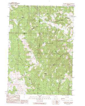
Calamity Butte Topo Map Oregon
To zoom in, hover over the map of Calamity Butte
USGS Topo Quad 43118h7 - 1:24,000 scale
| Topo Map Name: | Calamity Butte |
| USGS Topo Quad ID: | 43118h7 |
| Print Size: | ca. 21 1/4" wide x 27" high |
| Southeast Coordinates: | 43.875° N latitude / 118.75° W longitude |
| Map Center Coordinates: | 43.9375° N latitude / 118.8125° W longitude |
| U.S. State: | OR |
| Filename: | o43118h7.jpg |
| Download Map JPG Image: | Calamity Butte topo map 1:24,000 scale |
| Map Type: | Topographic |
| Topo Series: | 7.5´ |
| Map Scale: | 1:24,000 |
| Source of Map Images: | United States Geological Survey (USGS) |
| Alternate Map Versions: |
Calamity Butte OR 1990, updated 1990 Download PDF Buy paper map Calamity Butte OR 1999, updated 2002 Download PDF Buy paper map Calamity Butte OR 2011 Download PDF Buy paper map Calamity Butte OR 2014 Download PDF Buy paper map |
| FStopo: | US Forest Service topo Calamity Butte is available: Download FStopo PDF Download FStopo TIF |
1:24,000 Topo Quads surrounding Calamity Butte
> Back to 43118e1 at 1:100,000 scale
> Back to 43118a1 at 1:250,000 scale
> Back to U.S. Topo Maps home
Calamity Butte topo map: Gazetteer
Calamity Butte: Flats
Crane Flat elevation 1447m 4747′Jackknife Flat elevation 1709m 5606′
Potts Field elevation 1452m 4763′
Calamity Butte: Springs
Alkali Spring elevation 1599m 5246′Brandon Spring elevation 1689m 5541′
Elk Wallow Spring elevation 1824m 5984′
Fortynine Spring elevation 1480m 4855′
Goodwater Spring elevation 1389m 4557′
Ithema Spring elevation 1387m 4550′
Jackknife Spring elevation 1702m 5583′
Jungle Spring elevation 1511m 4957′
Mountain Spring elevation 1600m 5249′
Oard Spring elevation 1739m 5705′
Ragged Rock Spring elevation 1691m 5547′
Rock Springs elevation 1584m 5196′
Stewart Spring elevation 1747m 5731′
Sunshine Spring elevation 1586m 5203′
Tin Can Spring elevation 1851m 6072′
Calamity Butte: Streams
Beaverdam Creek elevation 1443m 4734′McBride Creek elevation 1457m 4780′
Willow Spring Brook elevation 1584m 5196′
Calamity Butte: Summits
Calamity Butte elevation 2012m 6601′Calamity Butte: Valleys
Dry Gulch elevation 1316m 4317′Elbow Canyon elevation 1561m 5121′
Rosewood Gulch elevation 1419m 4655′
Calamity Butte digital topo map on disk
Buy this Calamity Butte topo map showing relief, roads, GPS coordinates and other geographical features, as a high-resolution digital map file on DVD:


