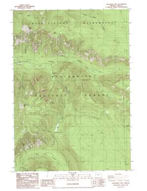
Chucksney Mountain Topo Map Oregon
To zoom in, hover over the map of Chucksney Mountain
USGS Topo Quad 43122h1 - 1:24,000 scale
| Topo Map Name: | Chucksney Mountain |
| USGS Topo Quad ID: | 43122h1 |
| Print Size: | ca. 21 1/4" wide x 27" high |
| Southeast Coordinates: | 43.875° N latitude / 122° W longitude |
| Map Center Coordinates: | 43.9375° N latitude / 122.0625° W longitude |
| U.S. State: | OR |
| Filename: | o43122h1.jpg |
| Download Map JPG Image: | Chucksney Mountain topo map 1:24,000 scale |
| Map Type: | Topographic |
| Topo Series: | 7.5´ |
| Map Scale: | 1:24,000 |
| Source of Map Images: | United States Geological Survey (USGS) |
| Alternate Map Versions: |
Chucksney Mountain OR 1986, updated 1986 Download PDF Buy paper map Chucksney Mountain OR 1997, updated 1998 Download PDF Buy paper map Chucksney Mountain OR 2011 Download PDF Buy paper map Chucksney Mountain OR 2014 Download PDF Buy paper map |
| FStopo: | US Forest Service topo Chucksney Mountain is available: Download FStopo PDF Download FStopo TIF |
1:24,000 Topo Quads surrounding Chucksney Mountain
> Back to 43122e1 at 1:100,000 scale
> Back to 43122a1 at 1:250,000 scale
> Back to U.S. Topo Maps home
Chucksney Mountain topo map: Gazetteer
Chucksney Mountain: Flats
Reilly Meadows elevation 1411m 4629′Chucksney Mountain: Ridges
Roaring River Ridge elevation 1503m 4931′Chucksney Mountain: Springs
Beeler Spring elevation 1511m 4957′Chucksney Mountain: Streams
Bull Creek elevation 830m 2723′Cascade Creek elevation 734m 2408′
Chucksney Creek elevation 855m 2805′
Elk Creek elevation 853m 2798′
Fir Creek elevation 814m 2670′
McBee Creek elevation 968m 3175′
Minute Creek elevation 843m 2765′
Moolack Creek elevation 833m 2732′
Moss Creek elevation 849m 2785′
Roaring River elevation 771m 2529′
Small Creek elevation 842m 2762′
Tiny Creek elevation 833m 2732′
Wapiti Creek elevation 892m 2926′
Chucksney Mountain: Summits
Chucksney Mountain elevation 1752m 5748′Rebel Rock elevation 1689m 5541′
Chucksney Mountain: Valleys
Box Canyon elevation 931m 3054′Chucksney Mountain digital topo map on disk
Buy this Chucksney Mountain topo map showing relief, roads, GPS coordinates and other geographical features, as a high-resolution digital map file on DVD:


