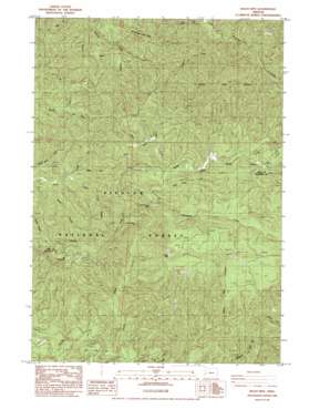
Baldy Mountain Topo Map Oregon
To zoom in, hover over the map of Baldy Mountain
USGS Topo Quad 43123h7 - 1:24,000 scale
| Topo Map Name: | Baldy Mountain |
| USGS Topo Quad ID: | 43123h7 |
| Print Size: | ca. 21 1/4" wide x 27" high |
| Southeast Coordinates: | 43.875° N latitude / 123.75° W longitude |
| Map Center Coordinates: | 43.9375° N latitude / 123.8125° W longitude |
| U.S. State: | OR |
| Filename: | o43123h7.jpg |
| Download Map JPG Image: | Baldy Mountain topo map 1:24,000 scale |
| Map Type: | Topographic |
| Topo Series: | 7.5´ |
| Map Scale: | 1:24,000 |
| Source of Map Images: | United States Geological Survey (USGS) |
| Alternate Map Versions: |
Baldy Mtn OR 1984, updated 1984 Download PDF Buy paper map Baldy Mountain OR 2011 Download PDF Buy paper map Baldy Mountain OR 2014 Download PDF Buy paper map |
| FStopo: | US Forest Service topo Baldy Mountain is available: Download FStopo PDF Download FStopo TIF |
1:24,000 Topo Quads surrounding Baldy Mountain
> Back to 43123e1 at 1:100,000 scale
> Back to 43122a1 at 1:250,000 scale
> Back to U.S. Topo Maps home
Baldy Mountain topo map: Gazetteer
Baldy Mountain: Falls
Lower Kentucky Falls elevation 310m 1017′North Fork Falls elevation 294m 964′
Upper Kentucky Falls elevation 440m 1443′
Baldy Mountain: Pillars
Table Rock elevation 588m 1929′Baldy Mountain: Post Offices
Ord Post Office (historical) elevation 315m 1033′Baldy Mountain: Ridges
Hand Ridge elevation 504m 1653′Smittie Ridge elevation 309m 1013′
Baldy Mountain: Streams
Deer Creek elevation 219m 718′Hand Creek elevation 219m 718′
Hood Creek elevation 67m 219′
Jump Creek elevation 311m 1020′
Kentucky Creek elevation 290m 951′
Lloyd Creek elevation 213m 698′
Middle Fork North Fork Smith River elevation 106m 347′
Ryan Creek elevation 329m 1079′
Sheep Herder Creek elevation 290m 951′
South Fork Sweet Creek elevation 221m 725′
Sulphur Creek elevation 91m 298′
Baldy Mountain: Summits
Baldy Mountain elevation 766m 2513′Mount Grayback elevation 677m 2221′
Baldy Mountain digital topo map on disk
Buy this Baldy Mountain topo map showing relief, roads, GPS coordinates and other geographical features, as a high-resolution digital map file on DVD:


