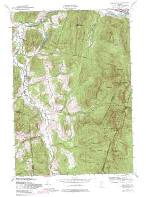
Huntington Topo Map Vermont
To zoom in, hover over the map of Huntington
USGS Topo Quad 44072c8 - 1:24,000 scale
| Topo Map Name: | Huntington |
| USGS Topo Quad ID: | 44072c8 |
| Print Size: | ca. 21 1/4" wide x 27" high |
| Southeast Coordinates: | 44.25° N latitude / 72.875° W longitude |
| Map Center Coordinates: | 44.3125° N latitude / 72.9375° W longitude |
| U.S. State: | VT |
| Filename: | o44072c8.jpg |
| Download Map JPG Image: | Huntington topo map 1:24,000 scale |
| Map Type: | Topographic |
| Topo Series: | 7.5´ |
| Map Scale: | 1:24,000 |
| Source of Map Images: | United States Geological Survey (USGS) |
| Alternate Map Versions: |
Huntington VT 1948, updated 1953 Download PDF Buy paper map Huntington VT 1948, updated 1967 Download PDF Buy paper map Huntington VT 1948, updated 1981 Download PDF Buy paper map Huntington VT 1948, updated 1981 Download PDF Buy paper map Huntington VT 2012 Download PDF Buy paper map Huntington VT 2015 Download PDF Buy paper map |
1:24,000 Topo Quads surrounding Huntington
> Back to 44072a1 at 1:100,000 scale
> Back to 44072a1 at 1:250,000 scale
> Back to U.S. Topo Maps home
Huntington topo map: Gazetteer
Huntington: Airports
Teal Farm Airport elevation 434m 1423′Huntington: Forests
Camels Hump State Forest elevation 610m 2001′Huntington: Gaps
Wind Gap elevation 863m 2831′Huntington: Lakes
Gillett Pond elevation 216m 708′Huntington: Parks
Robbins Mountain Wildlife Management Area elevation 305m 1000′Huntington: Populated Places
Bolton elevation 108m 354′Huntington elevation 188m 616′
Huntington Center elevation 210m 688′
Huntington: Post Offices
Huntington Post Office elevation 179m 587′Huntington: Streams
Brush Brook elevation 206m 675′Carpenter Brook elevation 218m 715′
Cobb Brook elevation 222m 728′
Gleason Brook elevation 102m 334′
Hollow Brook elevation 188m 616′
Johns Brook elevation 126m 413′
Joiner Brook elevation 102m 334′
Jones Brook elevation 248m 813′
Huntington: Summits
Bald Hill elevation 927m 3041′Browns Mountain elevation 704m 2309′
Burnt Rock Mountain elevation 962m 3156′
Camels Hump elevation 1239m 4064′
Mount Ethan Allen elevation 1120m 3674′
Mount Ira Allen elevation 1051m 3448′
Robbins Mountain elevation 624m 2047′
Huntington: Valleys
Honey Hollow elevation 104m 341′Huntington digital topo map on disk
Buy this Huntington topo map showing relief, roads, GPS coordinates and other geographical features, as a high-resolution digital map file on DVD:
New York, Vermont, Connecticut & Western Massachusetts
Buy digital topo maps: New York, Vermont, Connecticut & Western Massachusetts


