Jacksonport Sw Topo Map Wisconsin
To zoom in, hover over the map of Jacksonport Sw
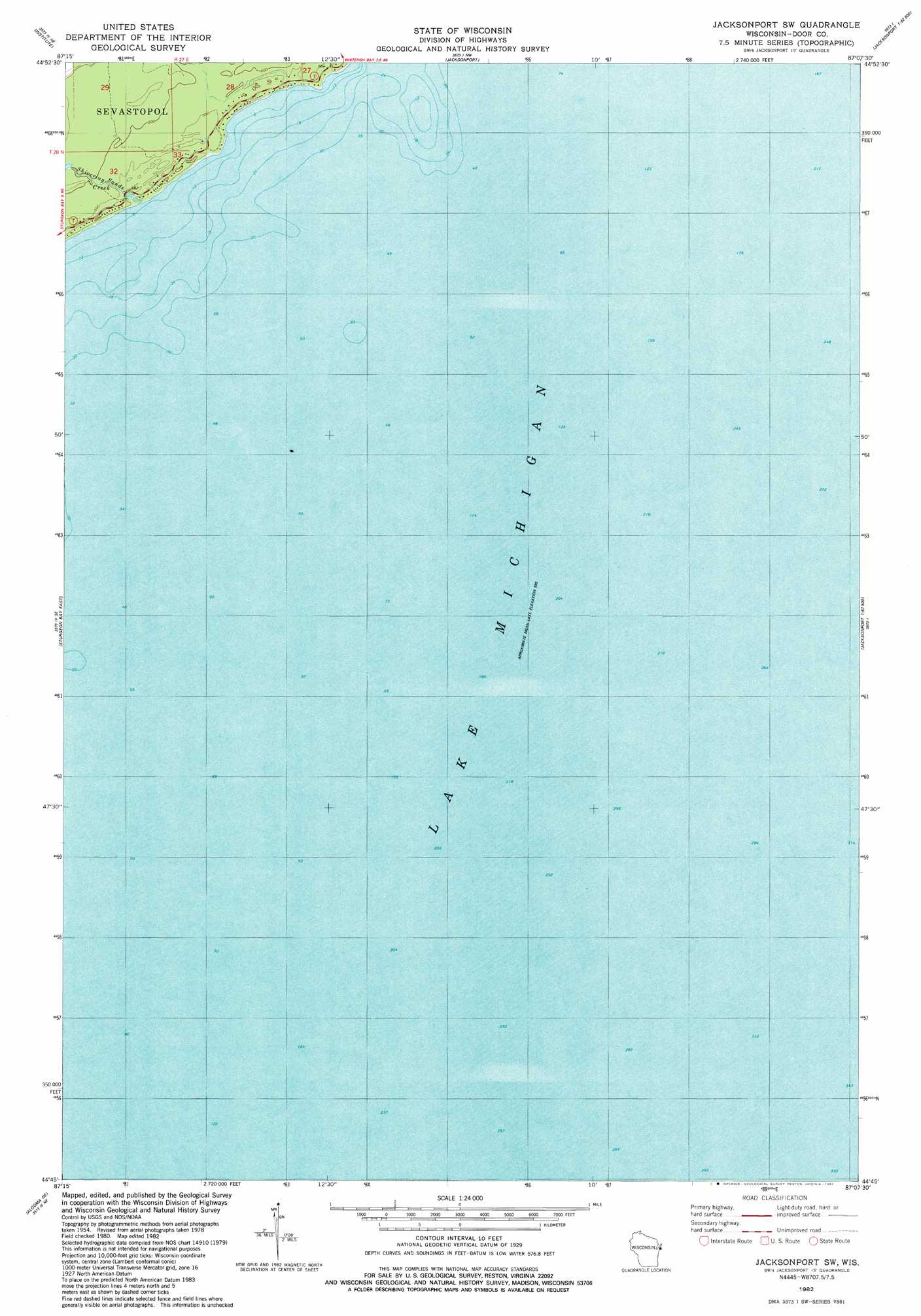
USGS Topo Quad 44087g2 - 1:24,000 scale
| Topo Map Name: | Jacksonport Sw |
| USGS Topo Quad ID: | 44087g2 |
| Print Size: | ca. 21 1/4" wide x 27" high |
| Southeast Coordinates: | 44.75° N latitude / 87.125° W longitude |
| Map Center Coordinates: | 44.8125° N latitude / 87.1875° W longitude |
| U.S. State: | WI |
| Filename: | o44087g2.jpg |
| Download Map JPG Image: | Jacksonport Sw topo map 1:24,000 scale |
| Map Type: | Topographic |
| Topo Series: | 7.5´ |
| Map Scale: | 1:24,000 |
| Source of Map Images: | United States Geological Survey (USGS) |
| Alternate Map Versions: |
Jacksonport SW WI 1982, updated 1982 Download PDF Buy paper map Jacksonport SW WI 2010 Download PDF Buy paper map Jacksonport SW WI 2013 Download PDF Buy paper map Jacksonport SW WI 2015 Download PDF Buy paper map |
1:24,000 Topo Quads surrounding Jacksonport Sw
Green Island |
Egg Harbor |
Baileys Harbor West |
Baileys Harbor East |
|
Idlewild |
Institute |
Jacksonport |
||
Sturgeon Bay West |
Sturgeon Bay East |
Jacksonport Sw |
||
Forestville |
Algoma Ne |
|||
Algoma |
> Back to 44087e1 at 1:100,000 scale
> Back to 44086a1 at 1:250,000 scale
> Back to U.S. Topo Maps home
Jacksonport Sw topo map: Gazetteer
Jacksonport Sw: Streams
Shivering Sands Creek elevation 177m 580′Jacksonport Sw digital topo map on disk
Buy this Jacksonport Sw topo map showing relief, roads, GPS coordinates and other geographical features, as a high-resolution digital map file on DVD: