Dawson Sw Topo Map Minnesota
To zoom in, hover over the map of Dawson Sw
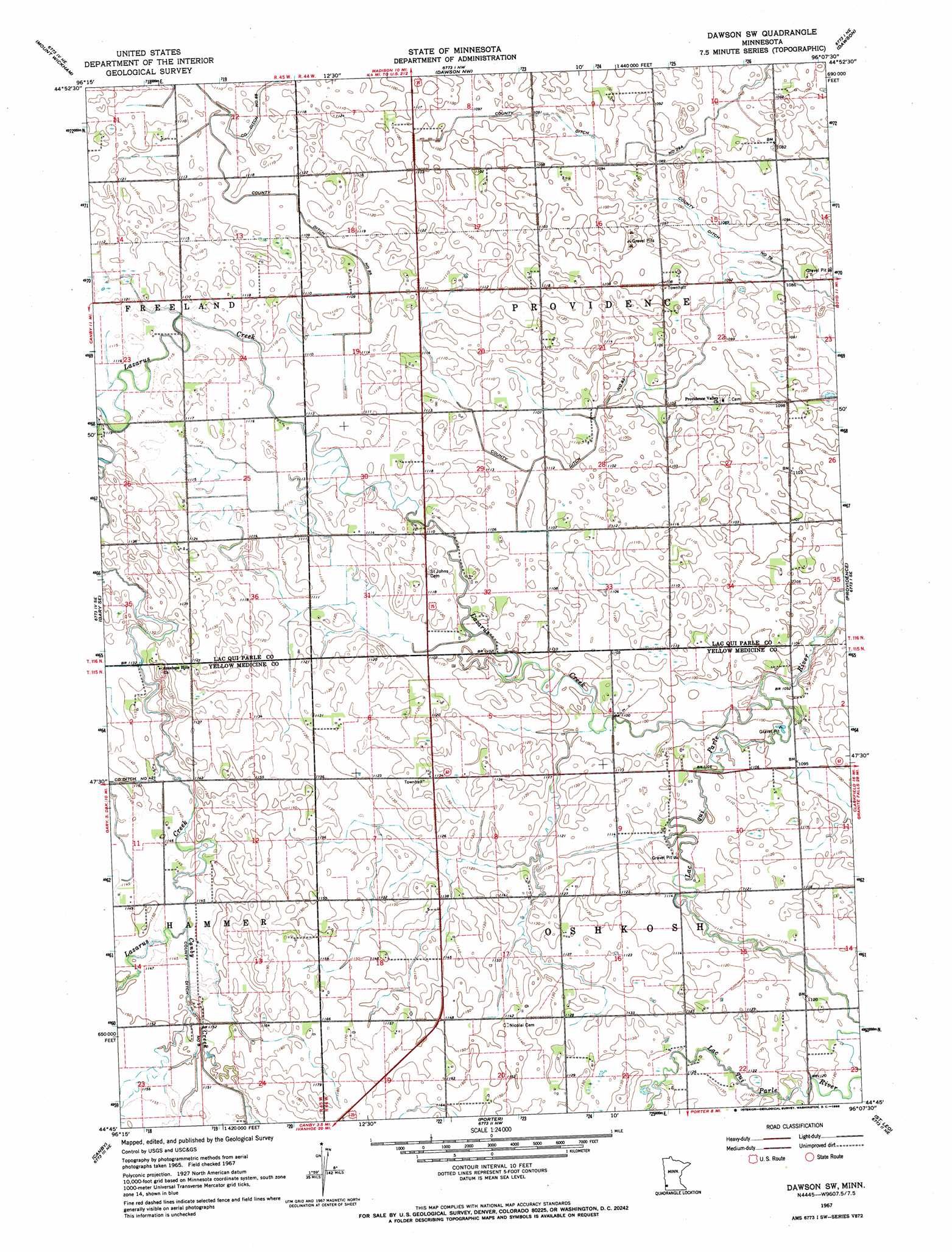
USGS Topo Quad 44096g2 - 1:24,000 scale
| Topo Map Name: | Dawson Sw |
| USGS Topo Quad ID: | 44096g2 |
| Print Size: | ca. 21 1/4" wide x 27" high |
| Southeast Coordinates: | 44.75° N latitude / 96.125° W longitude |
| Map Center Coordinates: | 44.8125° N latitude / 96.1875° W longitude |
| U.S. State: | MN |
| Filename: | o44096g2.jpg |
| Download Map JPG Image: | Dawson Sw topo map 1:24,000 scale |
| Map Type: | Topographic |
| Topo Series: | 7.5´ |
| Map Scale: | 1:24,000 |
| Source of Map Images: | United States Geological Survey (USGS) |
| Alternate Map Versions: |
Dawson SW MN 1967, updated 1968 Download PDF Buy paper map Dawson SW MN 2010 Download PDF Buy paper map Dawson SW MN 2013 Download PDF Buy paper map Dawson SW MN 2016 Download PDF Buy paper map |
1:24,000 Topo Quads surrounding Dawson Sw
Marietta |
Haydenville |
Madison |
Cerro Gordo |
Milan |
Gary Nw |
Mount Wickham |
Dawson Nw |
Dawson |
Tenmile Lake |
Gary |
Gary Se |
Dawson Sw |
Providence |
Boyd |
Canby Nw |
Canby |
Porter |
Saint Leo |
Minneota Nw |
Hendricks |
Canby Se |
Porter Sw |
Taunton |
Minneota |
> Back to 44096e1 at 1:100,000 scale
> Back to 44096a1 at 1:250,000 scale
> Back to U.S. Topo Maps home
Dawson Sw topo map: Gazetteer
Dawson Sw: Canals
County Ditch Number Eightythree elevation 336m 1102′County Ditch Number Seventynine elevation 330m 1082′
County Ditch Number Twentynine A elevation 331m 1085′
Dawson Sw: Streams
Canby Creek elevation 348m 1141′Lazarus Creek elevation 332m 1089′
Dawson Sw digital topo map on disk
Buy this Dawson Sw topo map showing relief, roads, GPS coordinates and other geographical features, as a high-resolution digital map file on DVD:
Eastern North Dakota & Eastern South Dakota
Buy digital topo maps: Eastern North Dakota & Eastern South Dakota