Forestburg Nw Topo Map South Dakota
To zoom in, hover over the map of Forestburg Nw
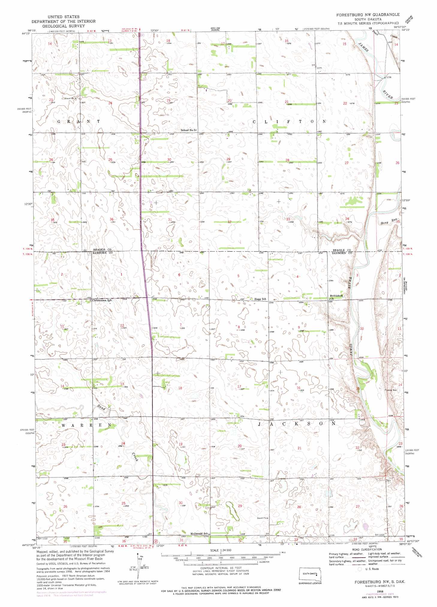
USGS Topo Quad 44098b2 - 1:24,000 scale
| Topo Map Name: | Forestburg Nw |
| USGS Topo Quad ID: | 44098b2 |
| Print Size: | ca. 21 1/4" wide x 27" high |
| Southeast Coordinates: | 44.125° N latitude / 98.125° W longitude |
| Map Center Coordinates: | 44.1875° N latitude / 98.1875° W longitude |
| U.S. State: | SD |
| Filename: | o44098b2.jpg |
| Download Map JPG Image: | Forestburg Nw topo map 1:24,000 scale |
| Map Type: | Topographic |
| Topo Series: | 7.5´ |
| Map Scale: | 1:24,000 |
| Source of Map Images: | United States Geological Survey (USGS) |
| Alternate Map Versions: |
Forestburg NW SD 1958, updated 1959 Download PDF Buy paper map Forestburg NW SD 1958, updated 1977 Download PDF Buy paper map Forestburg NW SD 2012 Download PDF Buy paper map Forestburg NW SD 2015 Download PDF Buy paper map |
1:24,000 Topo Quads surrounding Forestburg Nw
Wolsey |
Broadland |
Huron Nw |
Huron Ne |
Yale |
Virgil |
Wolsey Se |
Huron |
Cavour |
Pearl Creek Colony |
Woonsocket Nw |
Alpena |
Forestburg Nw |
Forestburg Ne |
Artesian Nw |
Lane |
Woonsocket |
Forestburg Sw |
Forestburg |
Artesian |
Fraser Dam |
Twin Lakes |
Letcher |
Letcher Ne |
Farwell Nw |
> Back to 44098a1 at 1:100,000 scale
> Back to 44098a1 at 1:250,000 scale
> Back to U.S. Topo Maps home
Forestburg Nw topo map: Gazetteer
Forestburg Nw: Streams
Stony Run elevation 370m 1213′Forestburg Nw: Woods
Ferguson Grove elevation 394m 1292′Forestburg Nw digital topo map on disk
Buy this Forestburg Nw topo map showing relief, roads, GPS coordinates and other geographical features, as a high-resolution digital map file on DVD:
Eastern North Dakota & Eastern South Dakota
Buy digital topo maps: Eastern North Dakota & Eastern South Dakota