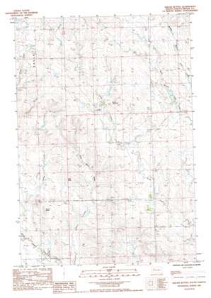
Squaw Buttes Topo Map South Dakota
To zoom in, hover over the map of Squaw Buttes
USGS Topo Quad 44102h6 - 1:24,000 scale
| Topo Map Name: | Squaw Buttes |
| USGS Topo Quad ID: | 44102h6 |
| Print Size: | ca. 21 1/4" wide x 27" high |
| Southeast Coordinates: | 44.875° N latitude / 102.625° W longitude |
| Map Center Coordinates: | 44.9375° N latitude / 102.6875° W longitude |
| U.S. State: | SD |
| Filename: | o44102h6.jpg |
| Download Map JPG Image: | Squaw Buttes topo map 1:24,000 scale |
| Map Type: | Topographic |
| Topo Series: | 7.5´ |
| Map Scale: | 1:24,000 |
| Source of Map Images: | United States Geological Survey (USGS) |
| Alternate Map Versions: |
Squaw Buttes SD 1983, updated 1984 Download PDF Buy paper map Squaw Buttes SD 2012 Download PDF Buy paper map Squaw Buttes SD 2015 Download PDF Buy paper map |
1:24,000 Topo Quads surrounding Squaw Buttes
> Back to 44102e1 at 1:100,000 scale
> Back to 44102a1 at 1:250,000 scale
> Back to U.S. Topo Maps home
Squaw Buttes topo map: Gazetteer
Squaw Buttes: Airports
Engalls Landing Strip elevation 838m 2749′Squaw Buttes: Dams
L Ingalls Number 1 Dam elevation 803m 2634′L Ingalls Number 2 Dam elevation 837m 2746′
OK Anderson Dam elevation 842m 2762′
Patterson Holding Dam elevation 788m 2585′
R Hampton Number 1 Dam elevation 861m 2824′
Squaw Buttes: Streams
Coal Mine Draw elevation 790m 2591′Deer Creek elevation 789m 2588′
Spring Creek elevation 781m 2562′
Squaw Buttes: Summits
Horse Butte elevation 892m 2926′Vig Buttes elevation 830m 2723′
Zeff Butte elevation 818m 2683′
Squaw Buttes digital topo map on disk
Buy this Squaw Buttes topo map showing relief, roads, GPS coordinates and other geographical features, as a high-resolution digital map file on DVD:
Eastern Wyoming & Western South Dakota
Buy digital topo maps: Eastern Wyoming & Western South Dakota


