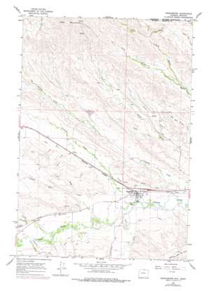
Ranchester Topo Map Wyoming
To zoom in, hover over the map of Ranchester
USGS Topo Quad 44107h2 - 1:24,000 scale
| Topo Map Name: | Ranchester |
| USGS Topo Quad ID: | 44107h2 |
| Print Size: | ca. 21 1/4" wide x 27" high |
| Southeast Coordinates: | 44.875° N latitude / 107.125° W longitude |
| Map Center Coordinates: | 44.9375° N latitude / 107.1875° W longitude |
| U.S. States: | WY, MT |
| Filename: | o44107h2.jpg |
| Download Map JPG Image: | Ranchester topo map 1:24,000 scale |
| Map Type: | Topographic |
| Topo Series: | 7.5´ |
| Map Scale: | 1:24,000 |
| Source of Map Images: | United States Geological Survey (USGS) |
| Alternate Map Versions: |
Ranchester WY 1964, updated 1967 Download PDF Buy paper map Ranchester WY 1964, updated 1978 Download PDF Buy paper map Ranchester WY 2011 Download PDF Buy paper map Ranchester WY 2012 Download PDF Buy paper map Ranchester WY 2015 Download PDF Buy paper map |
1:24,000 Topo Quads surrounding Ranchester
> Back to 44107e1 at 1:100,000 scale
> Back to 44106a1 at 1:250,000 scale
> Back to U.S. Topo Maps home
Ranchester topo map: Gazetteer
Ranchester: Canals
Hanover Ditch elevation 1163m 3815′Mikado Ditch elevation 1173m 3848′
Oz Ditch elevation 1176m 3858′
York Ditch elevation 1171m 3841′
Ranchester: Dams
Barker Dam elevation 1270m 4166′Belish Dam elevation 1210m 3969′
Dzendolet Dam elevation 1190m 3904′
Mates Dam elevation 1195m 3920′
Turner and Swan Dam elevation 1249m 4097′
Wesley Dam elevation 1195m 3920′
Ranchester: Populated Places
Ranchester elevation 1147m 3763′Ranchester: Reservoirs
Barker Reservoir elevation 1270m 4166′Belish Reservoir elevation 1210m 3969′
Dzendolet Reservoir elevation 1190m 3904′
Mates Reservoir elevation 1195m 3920′
Turner and Swan Reservoir elevation 1249m 4097′
Wesley Reservoir elevation 1195m 3920′
Ranchester: Streams
Columbus Creek elevation 1170m 3838′Dry Creek elevation 1202m 3943′
Fivemile Creek elevation 1146m 3759′
North Branch Slater Creek elevation 1239m 4064′
North Branch Slater Creek elevation 1239m 4064′
North Fork Earley Creek elevation 1152m 3779′
South Branch Slater Creek elevation 1239m 4064′
South Branch Slater Creek elevation 1239m 4064′
South Fork Earley Creek elevation 1171m 3841′
Wolf Creek elevation 1147m 3763′
Ranchester: Valleys
Gwinn Draw elevation 1194m 3917′Hanff Draw elevation 1177m 3861′
Jack Bill Draw elevation 1175m 3854′
Stoops Draw elevation 1182m 3877′
Tiny Draw elevation 1182m 3877′
Ranchester digital topo map on disk
Buy this Ranchester topo map showing relief, roads, GPS coordinates and other geographical features, as a high-resolution digital map file on DVD:
Eastern Wyoming & Western South Dakota
Buy digital topo maps: Eastern Wyoming & Western South Dakota


