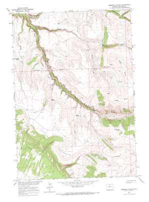
Simmons Canyon Topo Map Wyoming
To zoom in, hover over the map of Simmons Canyon
USGS Topo Quad 44108h1 - 1:24,000 scale
| Topo Map Name: | Simmons Canyon |
| USGS Topo Quad ID: | 44108h1 |
| Print Size: | ca. 21 1/4" wide x 27" high |
| Southeast Coordinates: | 44.875° N latitude / 108° W longitude |
| Map Center Coordinates: | 44.9375° N latitude / 108.0625° W longitude |
| U.S. State: | WY |
| Filename: | o44108h1.jpg |
| Download Map JPG Image: | Simmons Canyon topo map 1:24,000 scale |
| Map Type: | Topographic |
| Topo Series: | 7.5´ |
| Map Scale: | 1:24,000 |
| Source of Map Images: | United States Geological Survey (USGS) |
| Alternate Map Versions: |
Simmons Canyon WY 1964, updated 1967 Download PDF Buy paper map Simmons Canyon WY 2011 Download PDF Buy paper map Simmons Canyon WY 2012 Download PDF Buy paper map Simmons Canyon WY 2015 Download PDF Buy paper map |
1:24,000 Topo Quads surrounding Simmons Canyon
> Back to 44108e1 at 1:100,000 scale
> Back to 44108a1 at 1:250,000 scale
> Back to U.S. Topo Maps home
Simmons Canyon topo map: Gazetteer
Simmons Canyon: Benches
Dugan Bench elevation 2132m 6994′Simmons Canyon: Ridges
Winter Hill elevation 1692m 5551′Simmons Canyon: Springs
Browns Spring elevation 1734m 5688′Dipping Vat Springs elevation 2188m 7178′
East Trough Spring elevation 1634m 5360′
Godes Springs elevation 1736m 5695′
Johns Spring elevation 2252m 7388′
Red Seep elevation 1627m 5337′
Richs Spring elevation 1635m 5364′
Simmons Canyon: Streams
Cow Creek elevation 1538m 5045′Deer Creek elevation 1318m 4324′
North Fork Trout Creek elevation 1559m 5114′
North Fork Trout Creek elevation 1559m 5114′
Oasis Spring Creek elevation 1292m 4238′
Spring Creek elevation 1556m 5104′
Trout Creek elevation 1292m 4238′
Trout Creek elevation 1292m 4238′
Simmons Canyon: Summits
Little Mountain elevation 1936m 6351′Simmons Canyon: Trails
Burnt Trail elevation 1760m 5774′Simmons Canyon: Valleys
Petes Canyon elevation 1442m 4730′Simmons Canyon elevation 1474m 4835′
Vopats Canyon elevation 1838m 6030′
Simmons Canyon digital topo map on disk
Buy this Simmons Canyon topo map showing relief, roads, GPS coordinates and other geographical features, as a high-resolution digital map file on DVD:


