Sykes Spring Topo Map Wyoming
To zoom in, hover over the map of Sykes Spring
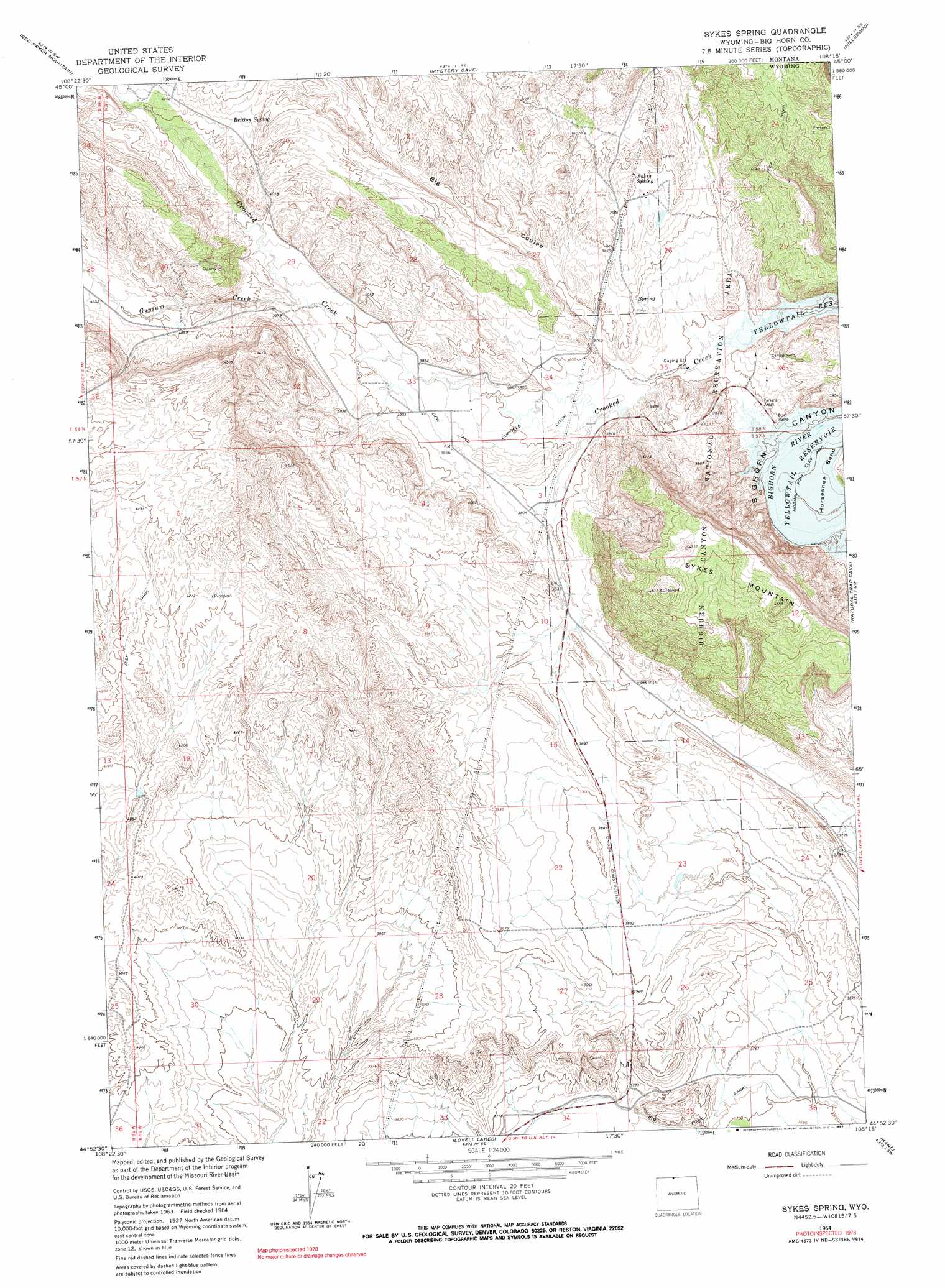
USGS Topo Quad 44108h3 - 1:24,000 scale
| Topo Map Name: | Sykes Spring |
| USGS Topo Quad ID: | 44108h3 |
| Print Size: | ca. 21 1/4" wide x 27" high |
| Southeast Coordinates: | 44.875° N latitude / 108.25° W longitude |
| Map Center Coordinates: | 44.9375° N latitude / 108.3125° W longitude |
| U.S. States: | WY, MT |
| Filename: | o44108h3.jpg |
| Download Map JPG Image: | Sykes Spring topo map 1:24,000 scale |
| Map Type: | Topographic |
| Topo Series: | 7.5´ |
| Map Scale: | 1:24,000 |
| Source of Map Images: | United States Geological Survey (USGS) |
| Alternate Map Versions: |
Sykes Spring WY 1964, updated 1968 Download PDF Buy paper map Sykes Spring WY 1964, updated 1990 Download PDF Buy paper map Sykes Spring WY 2011 Download PDF Buy paper map Sykes Spring WY 2012 Download PDF Buy paper map Sykes Spring WY 2015 Download PDF Buy paper map |
1:24,000 Topo Quads surrounding Sykes Spring
Indian Spring |
Big Ice Cave |
East Pryor Mountain |
Dead Indian Hill |
Little Finger Ridge |
Bear Canyon |
Red Pryor Mountain |
Mystery Cave |
Hillsboro |
Two Point |
Frannie |
Cowley |
Sykes Spring |
Natural Trap Cave |
Simmons Canyon |
Byron |
Lovell |
Lovell Lakes |
Kane |
Cottonwood Canyon |
Gilmore Hill Ne |
Jack Horner Reservoir |
North Emblem Reservoir |
Spence |
Alkali Creek |
> Back to 44108e1 at 1:100,000 scale
> Back to 44108a1 at 1:250,000 scale
> Back to U.S. Topo Maps home
Sykes Spring topo map: Gazetteer
Sykes Spring: Canals
Dew and Duffield Ditch elevation 1164m 3818′Sykes Spring: Dams
Horseshoe Dam elevation 1127m 3697′Sykes Spring: Mines
Big Coulee Mine elevation 1205m 3953′Crooked Creek Group Mine elevation 1172m 3845′
Gypsum Creek Area Mine elevation 1297m 4255′
Lovell Deposit Number One Mine elevation 1172m 3845′
Lovell Deposit Number Two Mine elevation 1198m 3930′
Sykes Mountain Mine elevation 1187m 3894′
Three Forks Canyon Area Number Four Mine elevation 1213m 3979′
Three Forks Canyon Area Number Three Mine elevation 1217m 3992′
Sykes Spring: Reservoirs
Horseshoe Reservoir elevation 1127m 3697′Sykes Spring: Springs
Britton Spring elevation 1263m 4143′Sykes Spring elevation 1199m 3933′
Sykes Spring: Streams
Crooked Creek elevation 1110m 3641′Crooked Creek elevation 1114m 3654′
Gypsum Creek elevation 1197m 3927′
Gypsum Creek elevation 1196m 3923′
Sykes Spring: Summits
Sykes Mountain elevation 1317m 4320′Sykes Spring: Valleys
Big Coulee elevation 1144m 3753′Big Coulee elevation 1144m 3753′
Sykes Spring digital topo map on disk
Buy this Sykes Spring topo map showing relief, roads, GPS coordinates and other geographical features, as a high-resolution digital map file on DVD: