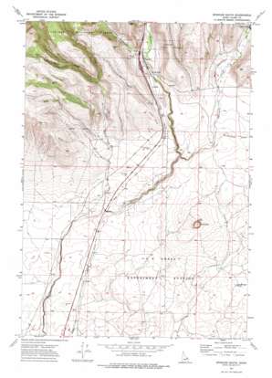
Spencer South Topo Map Idaho
To zoom in, hover over the map of Spencer South
USGS Topo Quad 44112c2 - 1:24,000 scale
| Topo Map Name: | Spencer South |
| USGS Topo Quad ID: | 44112c2 |
| Print Size: | ca. 21 1/4" wide x 27" high |
| Southeast Coordinates: | 44.25° N latitude / 112.125° W longitude |
| Map Center Coordinates: | 44.3125° N latitude / 112.1875° W longitude |
| U.S. State: | ID |
| Filename: | o44112c2.jpg |
| Download Map JPG Image: | Spencer South topo map 1:24,000 scale |
| Map Type: | Topographic |
| Topo Series: | 7.5´ |
| Map Scale: | 1:24,000 |
| Source of Map Images: | United States Geological Survey (USGS) |
| Alternate Map Versions: |
Spencer South ID 1972, updated 1976 Download PDF Buy paper map Spencer South ID 2011 Download PDF Buy paper map Spencer South ID 2013 Download PDF Buy paper map |
| FStopo: | US Forest Service topo Spencer South is available: Download FStopo PDF Download FStopo TIF |
1:24,000 Topo Quads surrounding Spencer South
> Back to 44112a1 at 1:100,000 scale
> Back to 44112a1 at 1:250,000 scale
> Back to U.S. Topo Maps home
Spencer South topo map: Gazetteer
Spencer South: Cliffs
China Point elevation 1838m 6030′Spencer South: Craters
The Crater elevation 1737m 5698′Spencer South: Populated Places
Highbridge elevation 1685m 5528′Spencer elevation 1801m 5908′
Spencer South: Reservoirs
Threemile Reservoir elevation 1854m 6082′Spencer South: Streams
Dry Creek elevation 1693m 5554′East Dry Creek elevation 1861m 6105′
Middle Dry Creek elevation 1861m 6105′
Rattlesnake Creek elevation 1769m 5803′
Threemile Creek elevation 1735m 5692′
West Dry Creek elevation 1914m 6279′
West Threemile Creek elevation 1806m 5925′
Spencer South: Summits
Bed Springs Butte elevation 1740m 5708′Spencer South: Valleys
Huntley Canyon elevation 1804m 5918′Spencer South digital topo map on disk
Buy this Spencer South topo map showing relief, roads, GPS coordinates and other geographical features, as a high-resolution digital map file on DVD:


