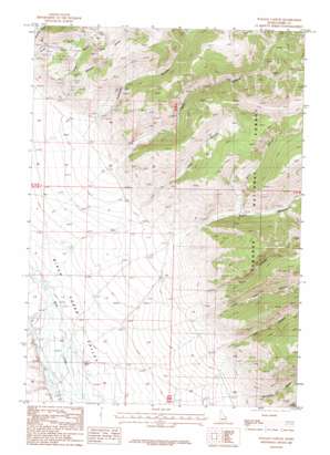
Italian Canyon Topo Map Idaho
To zoom in, hover over the map of Italian Canyon
USGS Topo Quad 44112c8 - 1:24,000 scale
| Topo Map Name: | Italian Canyon |
| USGS Topo Quad ID: | 44112c8 |
| Print Size: | ca. 21 1/4" wide x 27" high |
| Southeast Coordinates: | 44.25° N latitude / 112.875° W longitude |
| Map Center Coordinates: | 44.3125° N latitude / 112.9375° W longitude |
| U.S. State: | ID |
| Filename: | o44112c8.jpg |
| Download Map JPG Image: | Italian Canyon topo map 1:24,000 scale |
| Map Type: | Topographic |
| Topo Series: | 7.5´ |
| Map Scale: | 1:24,000 |
| Source of Map Images: | United States Geological Survey (USGS) |
| Alternate Map Versions: |
Italian Canyon ID 1987, updated 1987 Download PDF Buy paper map Italian Canyon ID 2011 Download PDF Buy paper map Italian Canyon ID 2013 Download PDF Buy paper map |
| FStopo: | US Forest Service topo Italian Canyon is available: Download FStopo PDF Download FStopo TIF |
1:24,000 Topo Quads surrounding Italian Canyon
> Back to 44112a1 at 1:100,000 scale
> Back to 44112a1 at 1:250,000 scale
> Back to U.S. Topo Maps home
Italian Canyon topo map: Gazetteer
Italian Canyon: Streams
Mud Creek elevation 1974m 6476′Italian Canyon: Valleys
Blind Canyon elevation 2241m 7352′Cedar Gulch elevation 2126m 6975′
Cliff Canyon elevation 2252m 7388′
Eidelman Canyon elevation 2182m 7158′
Indian Head Canyon elevation 2222m 7290′
Irish Canyon elevation 2148m 7047′
Italian Canyon elevation 2185m 7168′
Mahogany Canyon elevation 2208m 7244′
Paint Canyon elevation 2273m 7457′
Scott Canyon elevation 2162m 7093′
Viola Gulch elevation 2274m 7460′
Wilmot Gulch elevation 2189m 7181′
Italian Canyon digital topo map on disk
Buy this Italian Canyon topo map showing relief, roads, GPS coordinates and other geographical features, as a high-resolution digital map file on DVD:


