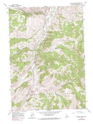
Bowery Creek Topo Map Idaho
To zoom in, hover over the map of Bowery Creek
USGS Topo Quad 44114a4 - 1:24,000 scale
| Topo Map Name: | Bowery Creek |
| USGS Topo Quad ID: | 44114a4 |
| Print Size: | ca. 21 1/4" wide x 27" high |
| Southeast Coordinates: | 44° N latitude / 114.375° W longitude |
| Map Center Coordinates: | 44.0625° N latitude / 114.4375° W longitude |
| U.S. State: | ID |
| Filename: | o44114a4.jpg |
| Download Map JPG Image: | Bowery Creek topo map 1:24,000 scale |
| Map Type: | Topographic |
| Topo Series: | 7.5´ |
| Map Scale: | 1:24,000 |
| Source of Map Images: | United States Geological Survey (USGS) |
| Alternate Map Versions: |
Bowery Creek ID 1963, updated 1965 Download PDF Buy paper map Bowery Creek ID 1963, updated 1974 Download PDF Buy paper map Bowery Creek ID 1963, updated 1990 Download PDF Buy paper map Bowery Creek ID 2011 Download PDF Buy paper map Bowery Creek ID 2013 Download PDF Buy paper map |
| FStopo: | US Forest Service topo Bowery Creek is available: Download FStopo PDF Download FStopo TIF |
1:24,000 Topo Quads surrounding Bowery Creek
> Back to 44114a1 at 1:100,000 scale
> Back to 44114a1 at 1:250,000 scale
> Back to U.S. Topo Maps home
Bowery Creek topo map: Gazetteer
Bowery Creek: Streams
Baker Creek elevation 1842m 6043′Big Boulder Creek elevation 1849m 6066′
Bowery Creek elevation 1960m 6430′
Deer Creek elevation 1930m 6332′
Germania Creek elevation 1944m 6377′
Little Boulder Creek elevation 1866m 6122′
Little Wickiup Creek elevation 1911m 6269′
Long Tom Creek elevation 2153m 7063′
Mountain Meadow Creek elevation 1937m 6354′
North Fork Bowery Creek elevation 2372m 7782′
Sheep Creek elevation 1901m 6236′
Wickiup Creek elevation 1903m 6243′
Bowery Creek: Valleys
Narrow Canyon elevation 2006m 6581′Bowery Creek digital topo map on disk
Buy this Bowery Creek topo map showing relief, roads, GPS coordinates and other geographical features, as a high-resolution digital map file on DVD:


