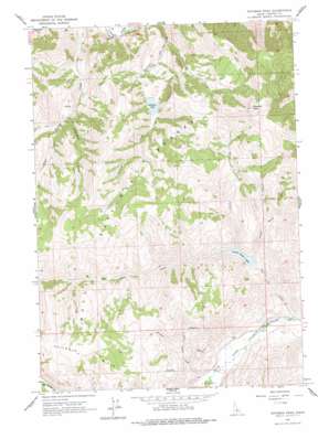
Potaman Peak Topo Map Idaho
To zoom in, hover over the map of Potaman Peak
USGS Topo Quad 44114b4 - 1:24,000 scale
| Topo Map Name: | Potaman Peak |
| USGS Topo Quad ID: | 44114b4 |
| Print Size: | ca. 21 1/4" wide x 27" high |
| Southeast Coordinates: | 44.125° N latitude / 114.375° W longitude |
| Map Center Coordinates: | 44.1875° N latitude / 114.4375° W longitude |
| U.S. State: | ID |
| Filename: | o44114b4.jpg |
| Download Map JPG Image: | Potaman Peak topo map 1:24,000 scale |
| Map Type: | Topographic |
| Topo Series: | 7.5´ |
| Map Scale: | 1:24,000 |
| Source of Map Images: | United States Geological Survey (USGS) |
| Alternate Map Versions: |
Potaman Peak ID 1963, updated 1965 Download PDF Buy paper map Potaman Peak ID 2011 Download PDF Buy paper map Potaman Peak ID 2013 Download PDF Buy paper map |
| FStopo: | US Forest Service topo Potaman Peak is available: Download FStopo PDF Download FStopo TIF |
1:24,000 Topo Quads surrounding Potaman Peak
> Back to 44114a1 at 1:100,000 scale
> Back to 44114a1 at 1:250,000 scale
> Back to U.S. Topo Maps home
Potaman Peak topo map: Gazetteer
Potaman Peak: Lakes
Jimmy Smith Lake elevation 1930m 6332′Sullivan Lake elevation 2053m 6735′
Potaman Peak: Streams
Big Lake Creek elevation 1799m 5902′Bluett Creek elevation 1834m 6017′
Corral Creek elevation 1930m 6332′
Jimmy Smith Creek elevation 1931m 6335′
Pistol Creek elevation 1959m 6427′
Potaman Creek elevation 1784m 5853′
Squaw Creek elevation 1678m 5505′
Squaw Creek elevation 1679m 5508′
Potaman Peak: Summits
Potaman Peak elevation 2855m 9366′Potaman Peak: Valleys
Dry Gulch elevation 1830m 6003′O'Calkens Gulch elevation 1927m 6322′
Potaman Peak digital topo map on disk
Buy this Potaman Peak topo map showing relief, roads, GPS coordinates and other geographical features, as a high-resolution digital map file on DVD:


