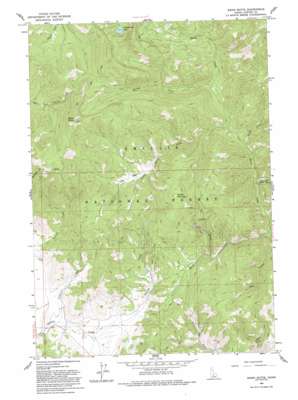
Basin Butte Topo Map Idaho
To zoom in, hover over the map of Basin Butte
USGS Topo Quad 44114c8 - 1:24,000 scale
| Topo Map Name: | Basin Butte |
| USGS Topo Quad ID: | 44114c8 |
| Print Size: | ca. 21 1/4" wide x 27" high |
| Southeast Coordinates: | 44.25° N latitude / 114.875° W longitude |
| Map Center Coordinates: | 44.3125° N latitude / 114.9375° W longitude |
| U.S. State: | ID |
| Filename: | o44114c8.jpg |
| Download Map JPG Image: | Basin Butte topo map 1:24,000 scale |
| Map Type: | Topographic |
| Topo Series: | 7.5´ |
| Map Scale: | 1:24,000 |
| Source of Map Images: | United States Geological Survey (USGS) |
| Alternate Map Versions: |
Basin Butte ID 1963, updated 1964 Download PDF Buy paper map Basin Butte ID 1963, updated 1974 Download PDF Buy paper map Basin Butte ID 1963, updated 1993 Download PDF Buy paper map Basin Butte ID 2011 Download PDF Buy paper map Basin Butte ID 2013 Download PDF Buy paper map |
| FStopo: | US Forest Service topo Basin Butte is available: Download FStopo PDF Download FStopo TIF |
1:24,000 Topo Quads surrounding Basin Butte
> Back to 44114a1 at 1:100,000 scale
> Back to 44114a1 at 1:250,000 scale
> Back to U.S. Topo Maps home
Basin Butte topo map: Gazetteer
Basin Butte: Basins
Little Basin elevation 2172m 7125′Basin Butte: Lakes
Valley Creek Lake elevation 2489m 8166′Basin Butte: Streams
Anderson Creek elevation 1949m 6394′Duffy Creek elevation 2111m 6925′
Hay Creek elevation 1977m 6486′
Kelly Creek elevation 1943m 6374′
Little Basin Creek elevation 2026m 6646′
Sawmill Creek elevation 2021m 6630′
Sunday Creek elevation 2513m 8244′
Tennell Creek elevation 1946m 6384′
Basin Butte: Summits
Basin Butte elevation 2697m 8848′Potato Mountain elevation 2490m 8169′
Basin Butte digital topo map on disk
Buy this Basin Butte topo map showing relief, roads, GPS coordinates and other geographical features, as a high-resolution digital map file on DVD:


