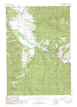
Garden Valley Topo Map Idaho
To zoom in, hover over the map of Garden Valley
USGS Topo Quad 44115a8 - 1:24,000 scale
| Topo Map Name: | Garden Valley |
| USGS Topo Quad ID: | 44115a8 |
| Print Size: | ca. 21 1/4" wide x 27" high |
| Southeast Coordinates: | 44° N latitude / 115.875° W longitude |
| Map Center Coordinates: | 44.0625° N latitude / 115.9375° W longitude |
| U.S. State: | ID |
| Filename: | o44115a8.jpg |
| Download Map JPG Image: | Garden Valley topo map 1:24,000 scale |
| Map Type: | Topographic |
| Topo Series: | 7.5´ |
| Map Scale: | 1:24,000 |
| Source of Map Images: | United States Geological Survey (USGS) |
| Alternate Map Versions: |
Garden Valley ID 1988, updated 1989 Download PDF Buy paper map Garden Valley ID 1988, updated 1989 Download PDF Buy paper map Garden Valley ID 2011 Download PDF Buy paper map Garden Valley ID 2013 Download PDF Buy paper map |
| FStopo: | US Forest Service topo Garden Valley is available: Download FStopo PDF Download FStopo TIF |
1:24,000 Topo Quads surrounding Garden Valley
> Back to 44115a1 at 1:100,000 scale
> Back to 44114a1 at 1:250,000 scale
> Back to U.S. Topo Maps home
Garden Valley topo map: Gazetteer
Garden Valley: Airports
Garden Valley Airport elevation 950m 3116′Garden Valley Heliport elevation 950m 3116′
Garden Valley: Mines
Grand View Mine (historical) elevation 1560m 5118′Klondike Mine (historical) elevation 1506m 4940′
Garden Valley: Populated Places
Crouch elevation 929m 3047′Garden Valley elevation 959m 3146′
Garden Valley: Post Offices
Garden Valley Post Office elevation 962m 3156′Garden Valley: Streams
Alder Creek elevation 939m 3080′Anderson Creek elevation 924m 3031′
Brush Creek elevation 928m 3044′
Bunch Creek elevation 949m 3113′
Bunchs Creek elevation 1126m 3694′
Carpenter Creek elevation 949m 3113′
Charters Creek elevation 927m 3041′
Coski Creek elevation 934m 3064′
Cow Creek elevation 1120m 3674′
East Fork Horn Creek elevation 1197m 3927′
Gooseberry Creek elevation 924m 3031′
Horn Creek elevation 950m 3116′
Little Anderson Creek elevation 981m 3218′
Longs Creek elevation 1097m 3599′
McKinzie Creek elevation 1056m 3464′
Nelson Creek elevation 950m 3116′
Poorman Creek elevation 949m 3113′
Reservoir Creek elevation 961m 3152′
Shilling Creek elevation 1049m 3441′
Station Creek elevation 949m 3113′
Wash Creek elevation 940m 3083′
West Fork Alder Creek elevation 1169m 3835′
West Fork Horn Creek elevation 1197m 3927′
West Fork Reservoir Creek elevation 1082m 3549′
Garden Valley: Summits
Bald Mountain elevation 1562m 5124′Garden Valley: Valleys
Garden Valley elevation 940m 3083′Schoolhouse Gulch elevation 973m 3192′
Garden Valley digital topo map on disk
Buy this Garden Valley topo map showing relief, roads, GPS coordinates and other geographical features, as a high-resolution digital map file on DVD:


