Malheur Butte Topo Map Oregon
To zoom in, hover over the map of Malheur Butte
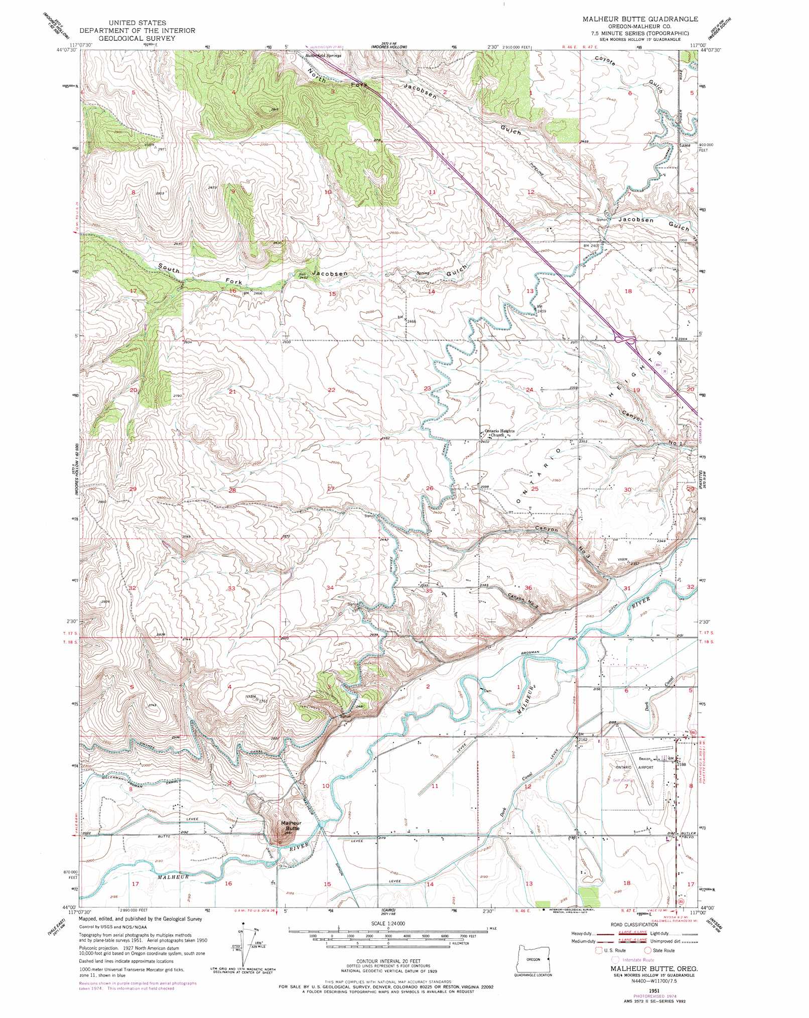
USGS Topo Quad 44117a1 - 1:24,000 scale
| Topo Map Name: | Malheur Butte |
| USGS Topo Quad ID: | 44117a1 |
| Print Size: | ca. 21 1/4" wide x 27" high |
| Southeast Coordinates: | 44° N latitude / 117° W longitude |
| Map Center Coordinates: | 44.0625° N latitude / 117.0625° W longitude |
| U.S. State: | OR |
| Filename: | o44117a1.jpg |
| Download Map JPG Image: | Malheur Butte topo map 1:24,000 scale |
| Map Type: | Topographic |
| Topo Series: | 7.5´ |
| Map Scale: | 1:24,000 |
| Source of Map Images: | United States Geological Survey (USGS) |
| Alternate Map Versions: |
Malheur Butte OR 1951, updated 1952 Download PDF Buy paper map Malheur Butte OR 1951, updated 1968 Download PDF Buy paper map Malheur Butte OR 1951, updated 1977 Download PDF Buy paper map Malheur Butte OR 2011 Download PDF Buy paper map Malheur Butte OR 2014 Download PDF Buy paper map |
1:24,000 Topo Quads surrounding Malheur Butte
Huntington |
Olds Ferry |
Porters Flat |
Weiser North |
Mann Creek Se |
Mccarthy Ridge |
Tub Mountain |
Moores Hollow |
Weiser South |
Weiser Cove |
Willow Creek |
Henry Gulch |
Malheur Butte |
Payette |
Birding Island |
Vale West |
Vale East |
Cairo |
Nyssa |
New Plymouth |
Double Mountain |
Mitchell Butte |
Owyhee |
Parma |
Parma Se |
> Back to 44117a1 at 1:100,000 scale
> Back to 44116a1 at 1:250,000 scale
> Back to U.S. Topo Maps home
Malheur Butte topo map: Gazetteer
Malheur Butte: Airports
Ontario Municipal Airport elevation 668m 2191′Malheur Butte: Canals
A Drain elevation 657m 2155′Blanton Drain elevation 665m 2181′
Brosman Ditch elevation 659m 2162′
Butte Drain elevation 669m 2194′
Dork Canal elevation 662m 2171′
Halliday Drain elevation 665m 2181′
Malheur Butte: Populated Places
Ontario Heights elevation 718m 2355′Malheur Butte: Springs
Butterfield Springs elevation 786m 2578′Malheur Butte: Summits
Malheur Butte elevation 790m 2591′Malheur Butte: Valleys
Canyon Number 2 elevation 670m 2198′Canyon Number 3 elevation 664m 2178′
North Fork Jacobsen Gulch elevation 692m 2270′
South Fork Jacobsen Gulch elevation 692m 2270′
Malheur Butte digital topo map on disk
Buy this Malheur Butte topo map showing relief, roads, GPS coordinates and other geographical features, as a high-resolution digital map file on DVD: