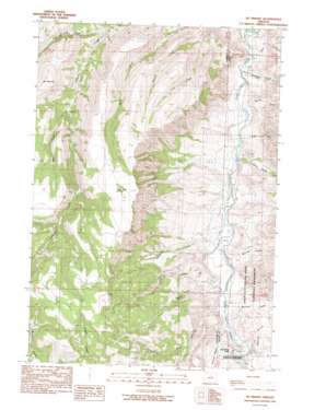
Mount Misery Topo Map Oregon
To zoom in, hover over the map of Mount Misery
USGS Topo Quad 44119f6 - 1:24,000 scale
| Topo Map Name: | Mount Misery |
| USGS Topo Quad ID: | 44119f6 |
| Print Size: | ca. 21 1/4" wide x 27" high |
| Southeast Coordinates: | 44.625° N latitude / 119.625° W longitude |
| Map Center Coordinates: | 44.6875° N latitude / 119.6875° W longitude |
| U.S. State: | OR |
| Filename: | o44119f6.jpg |
| Download Map JPG Image: | Mount Misery topo map 1:24,000 scale |
| Map Type: | Topographic |
| Topo Series: | 7.5´ |
| Map Scale: | 1:24,000 |
| Source of Map Images: | United States Geological Survey (USGS) |
| Alternate Map Versions: |
Mt. Misery OR 1990, updated 1990 Download PDF Buy paper map Mount Misery OR 2011 Download PDF Buy paper map Mount Misery OR 2014 Download PDF Buy paper map |
1:24,000 Topo Quads surrounding Mount Misery
> Back to 44119e1 at 1:100,000 scale
> Back to 44118a1 at 1:250,000 scale
> Back to U.S. Topo Maps home
Mount Misery topo map: Gazetteer
Mount Misery: Pillars
Cathedral Rock elevation 650m 2132′Mount Misery: Post Offices
Basin Post Office (historical) elevation 606m 1988′Mount Misery: Springs
Black Snag Springs elevation 1486m 4875′Mount Misery: Streams
Bear Creek elevation 1015m 3330′Bone Creek elevation 600m 1968′
Branson Creek elevation 626m 2053′
Deep Creek elevation 616m 2020′
First Creek elevation 800m 2624′
Fossil Creek elevation 595m 1952′
Gus Creek elevation 570m 1870′
Harry Creek elevation 644m 2112′
Hide and Seek Creek elevation 883m 2896′
Holmes Creek elevation 593m 1945′
Johnson Creek elevation 586m 1922′
McCarty Creek elevation 644m 2112′
McGinnis Creek elevation 642m 2106′
Rose Creek elevation 595m 1952′
Spring Creek elevation 580m 1902′
Mount Misery: Summits
Mount Misery elevation 1369m 4491′Mount Misery: Valleys
Bull Canyon elevation 626m 2053′Devils Gulch elevation 627m 2057′
Mount Misery digital topo map on disk
Buy this Mount Misery topo map showing relief, roads, GPS coordinates and other geographical features, as a high-resolution digital map file on DVD:


