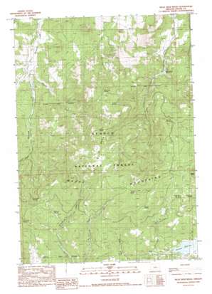
Mule Deer Ridge Topo Map Oregon
To zoom in, hover over the map of Mule Deer Ridge
USGS Topo Quad 44120a4 - 1:24,000 scale
| Topo Map Name: | Mule Deer Ridge |
| USGS Topo Quad ID: | 44120a4 |
| Print Size: | ca. 21 1/4" wide x 27" high |
| Southeast Coordinates: | 44° N latitude / 120.375° W longitude |
| Map Center Coordinates: | 44.0625° N latitude / 120.4375° W longitude |
| U.S. State: | OR |
| Filename: | o44120a4.jpg |
| Download Map JPG Image: | Mule Deer Ridge topo map 1:24,000 scale |
| Map Type: | Topographic |
| Topo Series: | 7.5´ |
| Map Scale: | 1:24,000 |
| Source of Map Images: | United States Geological Survey (USGS) |
| Alternate Map Versions: |
Mule Deer Ridge OR 1990, updated 1990 Download PDF Buy paper map Mule Deer Ridge OR 1992, updated 1997 Download PDF Buy paper map Mule Deer Ridge OR 2011 Download PDF Buy paper map Mule Deer Ridge OR 2014 Download PDF Buy paper map |
| FStopo: | US Forest Service topo Mule Deer Ridge is available: Download FStopo PDF Download FStopo TIF |
1:24,000 Topo Quads surrounding Mule Deer Ridge
> Back to 44120a1 at 1:100,000 scale
> Back to 44120a1 at 1:250,000 scale
> Back to U.S. Topo Maps home
Mule Deer Ridge topo map: Gazetteer
Mule Deer Ridge: Dams
Antelope Flat Dam elevation 1513m 4963′Newsome Creek Dam Number 1 elevation 1180m 3871′
Pine Creek Dam elevation 1184m 3884′
Mule Deer Ridge: Flats
Flag Flat elevation 1549m 5082′Lillie Flat elevation 1708m 5603′
Mule Deer Ridge: Mines
Maury Mountain Mines elevation 1219m 3999′Mule Deer Ridge: Parks
Antelope Reservoir Recreation Site elevation 1513m 4963′Mule Deer Ridge: Ranges
Maury Mountains elevation 1844m 6049′Mule Deer Ridge: Reservoirs
Antelope Flat Reservoir elevation 1513m 4963′Newsome Creek Reservoir Number 1 elevation 1180m 3871′
Pine Creek Reservoir elevation 1184m 3884′
Mule Deer Ridge: Ridges
Mule Deer Ridge elevation 1669m 5475′Mule Deer Ridge: Springs
Antelope Spring elevation 1691m 5547′Badger Spring elevation 1736m 5695′
Big Fir Spring elevation 1536m 5039′
Chipmunk Spring elevation 1704m 5590′
Hammer Creek Spring elevation 1677m 5501′
Knox Spring elevation 1620m 5314′
Mule Deer Spring elevation 1560m 5118′
Rarey Spring elevation 1759m 5770′
Shearing Spring elevation 1527m 5009′
Sherwood Spring elevation 1525m 5003′
Mule Deer Ridge: Streams
Faught Creek elevation 1500m 4921′Florida Creek elevation 1333m 4373′
Hammer Creek elevation 1138m 3733′
Sherwood Creek elevation 1152m 3779′
Mule Deer Ridge digital topo map on disk
Buy this Mule Deer Ridge topo map showing relief, roads, GPS coordinates and other geographical features, as a high-resolution digital map file on DVD:


