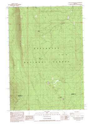
Little Squaw Back Topo Map Oregon
To zoom in, hover over the map of Little Squaw Back
USGS Topo Quad 44121d5 - 1:24,000 scale
| Topo Map Name: | Little Squaw Back |
| USGS Topo Quad ID: | 44121d5 |
| Print Size: | ca. 21 1/4" wide x 27" high |
| Southeast Coordinates: | 44.375° N latitude / 121.5° W longitude |
| Map Center Coordinates: | 44.4375° N latitude / 121.5625° W longitude |
| U.S. State: | OR |
| Filename: | o44121d5.jpg |
| Download Map JPG Image: | Little Squaw Back topo map 1:24,000 scale |
| Map Type: | Topographic |
| Topo Series: | 7.5´ |
| Map Scale: | 1:24,000 |
| Source of Map Images: | United States Geological Survey (USGS) |
| Alternate Map Versions: |
Little Squaw Back OR 1988, updated 1988 Download PDF Buy paper map Little Akawa Butte OR 2011 Download PDF Buy paper map Little Akawa Butte OR 2014 Download PDF Buy paper map |
| FStopo: | US Forest Service topo Little Akawa Butte is available: Download FStopo PDF Download FStopo TIF |
1:24,000 Topo Quads surrounding Little Squaw Back
> Back to 44121a1 at 1:100,000 scale
> Back to 44120a1 at 1:250,000 scale
> Back to U.S. Topo Maps home
Little Squaw Back topo map: Gazetteer
Little Squaw Back: Areas
Metolius Research Natural Area elevation 945m 3100′Little Squaw Back: Gaps
The Gap elevation 1098m 3602′Little Squaw Back: Ridges
Little Akawa Butte elevation 1329m 4360′Little Squaw Back: Springs
Bear Spring elevation 1289m 4229′Summit Spring elevation 1179m 3868′
Thorn Spring elevation 1091m 3579′
Whiskey Spring elevation 1259m 4130′
Little Squaw Back: Summits
Garrison Butte elevation 1162m 3812′Little Squaw Back digital topo map on disk
Buy this Little Squaw Back topo map showing relief, roads, GPS coordinates and other geographical features, as a high-resolution digital map file on DVD:


