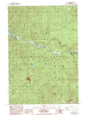
Idanha Topo Map Oregon
To zoom in, hover over the map of Idanha
USGS Topo Quad 44122f1 - 1:24,000 scale
| Topo Map Name: | Idanha |
| USGS Topo Quad ID: | 44122f1 |
| Print Size: | ca. 21 1/4" wide x 27" high |
| Southeast Coordinates: | 44.625° N latitude / 122° W longitude |
| Map Center Coordinates: | 44.6875° N latitude / 122.0625° W longitude |
| U.S. State: | OR |
| Filename: | o44122f1.jpg |
| Download Map JPG Image: | Idanha topo map 1:24,000 scale |
| Map Type: | Topographic |
| Topo Series: | 7.5´ |
| Map Scale: | 1:24,000 |
| Source of Map Images: | United States Geological Survey (USGS) |
| Alternate Map Versions: |
Idanha OR 1985, updated 1985 Download PDF Buy paper map Idanha OR 1994, updated 1998 Download PDF Buy paper map Idanha OR 2011 Download PDF Buy paper map Idanha OR 2014 Download PDF Buy paper map |
| FStopo: | US Forest Service topo Idanha is available: Download FStopo PDF Download FStopo TIF |
1:24,000 Topo Quads surrounding Idanha
> Back to 44122e1 at 1:100,000 scale
> Back to 44122a1 at 1:250,000 scale
> Back to U.S. Topo Maps home
Idanha topo map: Gazetteer
Idanha: Flats
Bruno Meadows elevation 1238m 4061′Idanha: Lakes
Bear Lake elevation 985m 3231′Bruno Lakes elevation 790m 2591′
Jo Jo Lake elevation 631m 2070′
Mud Puppy Lake elevation 708m 2322′
Rainbow Lake elevation 1005m 3297′
Idanha: Populated Places
Idanha elevation 533m 1748′New Idanha elevation 537m 1761′
Idanha: Post Offices
Hoover Post Office (historical) elevation 485m 1591′Idanha Post Office elevation 533m 1748′
Idanha: Reservoirs
Cold Spring Reservoir elevation 545m 1788′Idanha Log Pond elevation 523m 1715′
Idanha: Ridges
Coopers Ridge elevation 1100m 3608′Hoover Ridge elevation 1138m 3733′
Idanha: Streams
Bear Lake Creek elevation 568m 1863′Blue Lick Creek elevation 533m 1748′
Boulder Creek elevation 500m 1640′
Cabin Creek elevation 512m 1679′
Chitlam Creek elevation 531m 1742′
Corset Creek elevation 517m 1696′
Divide Creek elevation 588m 1929′
Dry Creek elevation 483m 1584′
Ivy Creek elevation 610m 2001′
Log Creek elevation 488m 1601′
Marys Creek elevation 566m 1856′
McCoy Creek elevation 550m 1804′
Misery Creek elevation 591m 1938′
Rainbow Creek elevation 539m 1768′
Tom Creek elevation 485m 1591′
Idanha: Summits
Bachelor Mountain elevation 1811m 5941′Cub Point elevation 1341m 4399′
Idanha: Trails
Bruno Meadows Trail elevation 1351m 4432′Idanha digital topo map on disk
Buy this Idanha topo map showing relief, roads, GPS coordinates and other geographical features, as a high-resolution digital map file on DVD:


