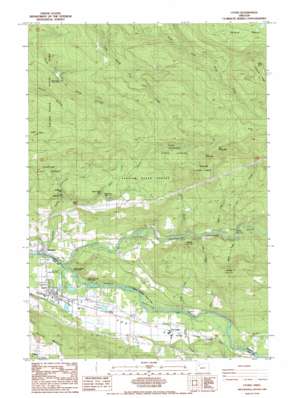
Lyons Topo Map Oregon
To zoom in, hover over the map of Lyons
USGS Topo Quad 44122g5 - 1:24,000 scale
| Topo Map Name: | Lyons |
| USGS Topo Quad ID: | 44122g5 |
| Print Size: | ca. 21 1/4" wide x 27" high |
| Southeast Coordinates: | 44.75° N latitude / 122.5° W longitude |
| Map Center Coordinates: | 44.8125° N latitude / 122.5625° W longitude |
| U.S. State: | OR |
| Filename: | o44122g5.jpg |
| Download Map JPG Image: | Lyons topo map 1:24,000 scale |
| Map Type: | Topographic |
| Topo Series: | 7.5´ |
| Map Scale: | 1:24,000 |
| Source of Map Images: | United States Geological Survey (USGS) |
| Alternate Map Versions: |
Lyons OR 1985, updated 1985 Download PDF Buy paper map Lyons OR 2011 Download PDF Buy paper map Lyons OR 2014 Download PDF Buy paper map |
1:24,000 Topo Quads surrounding Lyons
> Back to 44122e1 at 1:100,000 scale
> Back to 44122a1 at 1:250,000 scale
> Back to U.S. Topo Maps home
Lyons topo map: Gazetteer
Lyons: Dams
Ornoname 7 Dam elevation 209m 685′Lyons: Falls
Ayers Creek Falls elevation 453m 1486′Horseshoe Falls elevation 456m 1496′
Lower Shellburg Falls elevation 350m 1148′
Shellburg Falls elevation 421m 1381′
Stasel Falls elevation 376m 1233′
Stout Creek Falls elevation 519m 1702′
Lyons: Parks
John Neal Memorial County Park elevation 193m 633′Lyons Mehama County Park elevation 188m 616′
North Fork County Park elevation 219m 718′
North Santiam State Park elevation 212m 695′
Lyons: Populated Places
Fox Valley elevation 236m 774′Lyons elevation 202m 662′
Mehama elevation 192m 629′
Lyons: Post Offices
Fox Valley Post Office (historical) elevation 236m 774′Gooch Post Office (historical) elevation 239m 784′
Lyons Post Office elevation 202m 662′
Mehama Post Office elevation 192m 629′
Lyons: Reservoirs
Freres Log Ponds elevation 209m 685′Lyons Log Pond elevation 216m 708′
Lyons: Streams
Alder Creek elevation 216m 708′Ayers Creek elevation 437m 1433′
Beaver Creek elevation 252m 826′
Cherry Creek elevation 221m 725′
Cow Creek elevation 215m 705′
Cox Creek elevation 234m 767′
Jeeter Creek elevation 242m 793′
Kiel Creek elevation 239m 784′
Little North Santiam River elevation 189m 620′
Manis Creek elevation 212m 695′
Noroma Creek elevation 256m 839′
Polly Creek elevation 225m 738′
Shellburg Creek elevation 300m 984′
Walker Creek elevation 373m 1223′
Lyons: Summits
Big Green Mountain elevation 957m 3139′Buck Point elevation 1046m 3431′
Little Green Mountain elevation 931m 3054′
McCully Mountain elevation 516m 1692′
Rocky Top elevation 1021m 3349′
Lyons: Trails
Buck Mountain Fire Break elevation 673m 2208′Lyons: Valleys
Fox Valley elevation 195m 639′Lyons: Woods
Taylor Grove elevation 229m 751′Lyons digital topo map on disk
Buy this Lyons topo map showing relief, roads, GPS coordinates and other geographical features, as a high-resolution digital map file on DVD:


