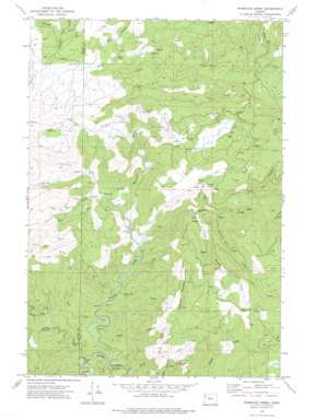
Warnicke Creek Topo Map Oregon
To zoom in, hover over the map of Warnicke Creek
USGS Topo Quad 44123h6 - 1:24,000 scale
| Topo Map Name: | Warnicke Creek |
| USGS Topo Quad ID: | 44123h6 |
| Print Size: | ca. 21 1/4" wide x 27" high |
| Southeast Coordinates: | 44.875° N latitude / 123.625° W longitude |
| Map Center Coordinates: | 44.9375° N latitude / 123.6875° W longitude |
| U.S. State: | OR |
| Filename: | o44123h6.jpg |
| Download Map JPG Image: | Warnicke Creek topo map 1:24,000 scale |
| Map Type: | Topographic |
| Topo Series: | 7.5´ |
| Map Scale: | 1:24,000 |
| Source of Map Images: | United States Geological Survey (USGS) |
| Alternate Map Versions: |
Warnicke Creek OR 1974, updated 1976 Download PDF Buy paper map Warnicke Creek OR 2011 Download PDF Buy paper map Warnicke Creek OR 2014 Download PDF Buy paper map |
1:24,000 Topo Quads surrounding Warnicke Creek
> Back to 44123e1 at 1:100,000 scale
> Back to 44122a1 at 1:250,000 scale
> Back to U.S. Topo Maps home
Warnicke Creek topo map: Gazetteer
Warnicke Creek: Ridges
Sugarloaf Mountain elevation 1025m 3362′Warnicke Creek: Streams
Bluff Creek elevation 233m 764′Boulder Creek elevation 300m 984′
Bridge Forty Creek elevation 553m 1814′
Canyon Creek elevation 260m 853′
Carter Creek elevation 364m 1194′
Central Line Creek elevation 426m 1397′
Crowley Mine Creek elevation 418m 1371′
Eagle Creek elevation 223m 731′
Gravel Creek elevation 212m 695′
Hughs Creek elevation 296m 971′
Little Boulder Creek elevation 383m 1256′
North Fork Gravel Creek elevation 244m 800′
North Fork Siletz River elevation 213m 698′
South Fork Siletz River elevation 213m 698′
Stub Creek elevation 240m 787′
Warnicke Creek elevation 341m 1118′
Warnicke Creek: Summits
Rooster Rock elevation 639m 2096′Warnicke Creek digital topo map on disk
Buy this Warnicke Creek topo map showing relief, roads, GPS coordinates and other geographical features, as a high-resolution digital map file on DVD:


