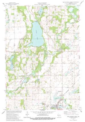
New Richmond North Topo Map Wisconsin
To zoom in, hover over the map of New Richmond North
USGS Topo Quad 45092b5 - 1:24,000 scale
| Topo Map Name: | New Richmond North |
| USGS Topo Quad ID: | 45092b5 |
| Print Size: | ca. 21 1/4" wide x 27" high |
| Southeast Coordinates: | 45.125° N latitude / 92.5° W longitude |
| Map Center Coordinates: | 45.1875° N latitude / 92.5625° W longitude |
| U.S. State: | WI |
| Filename: | o45092b5.jpg |
| Download Map JPG Image: | New Richmond North topo map 1:24,000 scale |
| Map Type: | Topographic |
| Topo Series: | 7.5´ |
| Map Scale: | 1:24,000 |
| Source of Map Images: | United States Geological Survey (USGS) |
| Alternate Map Versions: |
New Richmond North WI 1974, updated 1977 Download PDF Buy paper map New Richmond North WI 2010 Download PDF Buy paper map New Richmond North WI 2013 Download PDF Buy paper map New Richmond North WI 2015 Download PDF Buy paper map |
1:24,000 Topo Quads surrounding New Richmond North
> Back to 45092a1 at 1:100,000 scale
> Back to 45092a1 at 1:250,000 scale
> Back to U.S. Topo Maps home
New Richmond North topo map: Gazetteer
New Richmond North: Airports
Ceder Lake Seaplane Base elevation 278m 912′Danielson Landing Field elevation 290m 951′
Hexum Flight Park elevation 283m 928′
New Richmond Municipal Airport elevation 301m 987′
New Richmond North: Lakes
Cedar Lake elevation 278m 912′Hatfield Lake elevation 297m 974′
Lower Pine Lake elevation 287m 941′
Squaw Lake elevation 284m 931′
Strand Lake elevation 273m 895′
New Richmond North: Parks
Hatfield Park elevation 304m 997′Mary Park elevation 299m 980′
Northside Park elevation 301m 987′
New Richmond North: Populated Places
Huntington elevation 279m 915′Johannesburg elevation 271m 889′
Star Prairie elevation 284m 931′
Wall Street Village elevation 304m 997′
Woodbridge Trailer Court elevation 298m 977′
Woodridge Mobile Home Park elevation 299m 980′
New Richmond North: Streams
Cedar Creek elevation 273m 895′Horse Creek elevation 278m 912′
New Richmond North digital topo map on disk
Buy this New Richmond North topo map showing relief, roads, GPS coordinates and other geographical features, as a high-resolution digital map file on DVD:


