Peever Nw Topo Map South Dakota
To zoom in, hover over the map of Peever Nw
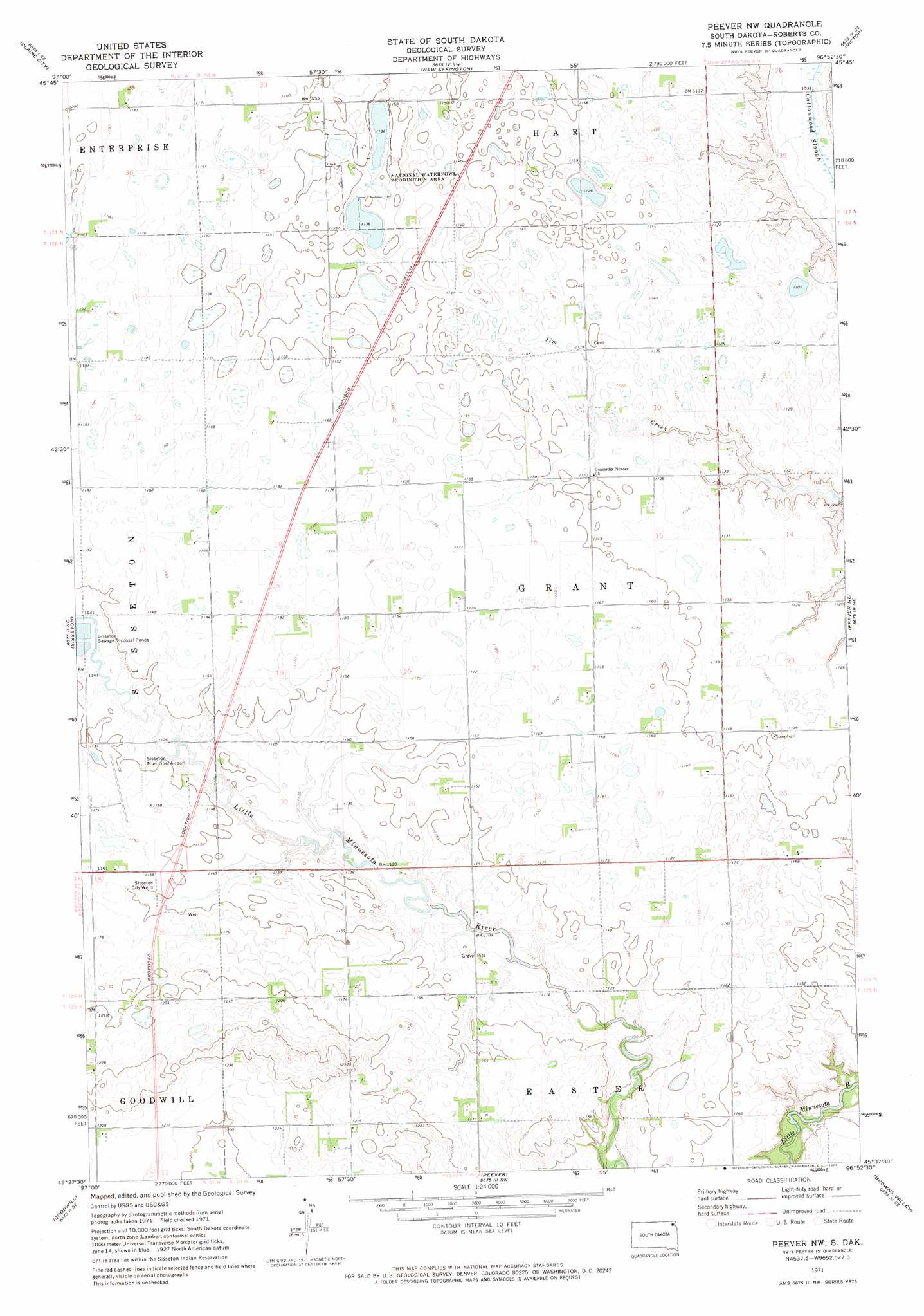
USGS Topo Quad 45096f8 - 1:24,000 scale
| Topo Map Name: | Peever Nw |
| USGS Topo Quad ID: | 45096f8 |
| Print Size: | ca. 21 1/4" wide x 27" high |
| Southeast Coordinates: | 45.625° N latitude / 96.875° W longitude |
| Map Center Coordinates: | 45.6875° N latitude / 96.9375° W longitude |
| U.S. State: | SD |
| Filename: | o45096f8.jpg |
| Download Map JPG Image: | Peever Nw topo map 1:24,000 scale |
| Map Type: | Topographic |
| Topo Series: | 7.5´ |
| Map Scale: | 1:24,000 |
| Source of Map Images: | United States Geological Survey (USGS) |
| Alternate Map Versions: |
Peever NW SD 1971, updated 1974 Download PDF Buy paper map Peever NW SD 2012 Download PDF Buy paper map Peever NW SD 2015 Download PDF Buy paper map |
1:24,000 Topo Quads surrounding Peever Nw
Claire City Nw |
Claire City Ne |
New Effington Nw |
New Effington Ne |
La Mars |
Claire City Sw |
Claire City |
New Effington |
Victor |
Rosholt |
Whitestone Lake |
Sisseton |
Peever Nw |
Peever Ne |
Beardsley Nw |
Drywood Lakes |
Goodwill |
Peever |
Browns Valley |
Beardsley |
Enemy Swim Lake East |
Summit Ne |
Wilmot Nw |
Wilmot |
Big Stone Lake West |
> Back to 45096e1 at 1:100,000 scale
> Back to 45096a1 at 1:250,000 scale
> Back to U.S. Topo Maps home
Peever Nw topo map: Gazetteer
Peever Nw: Airports
Sisseton Municipal Airport elevation 352m 1154′Peever Nw: Wells
Sisseton City Wells elevation 351m 1151′Peever Nw digital topo map on disk
Buy this Peever Nw topo map showing relief, roads, GPS coordinates and other geographical features, as a high-resolution digital map file on DVD:
Eastern North Dakota & Eastern South Dakota
Buy digital topo maps: Eastern North Dakota & Eastern South Dakota