Red Elm Sw Topo Map South Dakota
To zoom in, hover over the map of Red Elm Sw
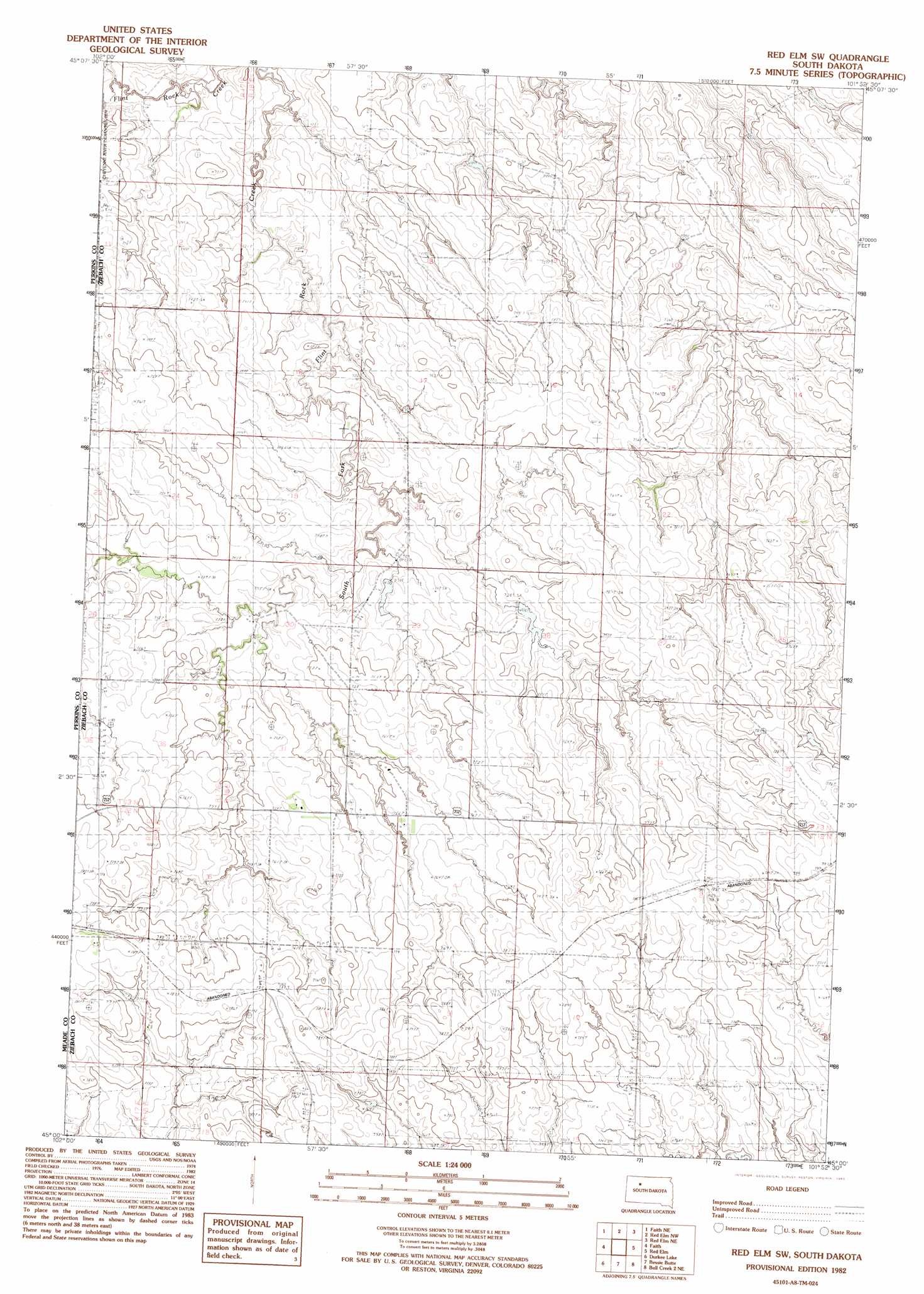
USGS Topo Quad 45101a8 - 1:24,000 scale
| Topo Map Name: | Red Elm Sw |
| USGS Topo Quad ID: | 45101a8 |
| Print Size: | ca. 21 1/4" wide x 27" high |
| Southeast Coordinates: | 45° N latitude / 101.875° W longitude |
| Map Center Coordinates: | 45.0625° N latitude / 101.9375° W longitude |
| U.S. State: | SD |
| Filename: | o45101a8.jpg |
| Download Map JPG Image: | Red Elm Sw topo map 1:24,000 scale |
| Map Type: | Topographic |
| Topo Series: | 7.5´ |
| Map Scale: | 1:24,000 |
| Source of Map Images: | United States Geological Survey (USGS) |
| Alternate Map Versions: |
Red Elm SW SD 1982, updated 1983 Download PDF Buy paper map Red Elm SW SD 2012 Download PDF Buy paper map Red Elm SW SD 2015 Download PDF Buy paper map |
1:24,000 Topo Quads surrounding Red Elm Sw
Coal Springs Sw |
Coal Springs Se |
Glad Valley Sw |
Glad Valley Se |
Irish Creek Sw |
Faith Nw |
Faith Ne |
Redelm Nw |
Redelm Ne |
Thunder Butte |
Faith Sw |
Faith |
Red Elm Sw |
Red Elm |
|
Avance |
Durkee Lake |
Bessie Butte |
Bull Creek 2 Ne |
Diermier Ranch |
Reed Dam |
Avance Se |
Chasing Hawk Draw |
Red Scaffold |
Longbrake Ranch |
> Back to 45101a1 at 1:100,000 scale
> Back to 45100a1 at 1:250,000 scale
> Back to U.S. Topo Maps home
Red Elm Sw topo map: Gazetteer
Red Elm Sw: Dams
Baxter Number 1 Dam elevation 739m 2424′Baxter Number 2 Dam elevation 747m 2450′
Baxter Number 3 Dam elevation 734m 2408′
V Miller Number 1 Dam elevation 709m 2326′
Red Elm Sw digital topo map on disk
Buy this Red Elm Sw topo map showing relief, roads, GPS coordinates and other geographical features, as a high-resolution digital map file on DVD:
Eastern North Dakota & Eastern South Dakota
Buy digital topo maps: Eastern North Dakota & Eastern South Dakota