Meadow Ne Topo Map South Dakota
To zoom in, hover over the map of Meadow Ne
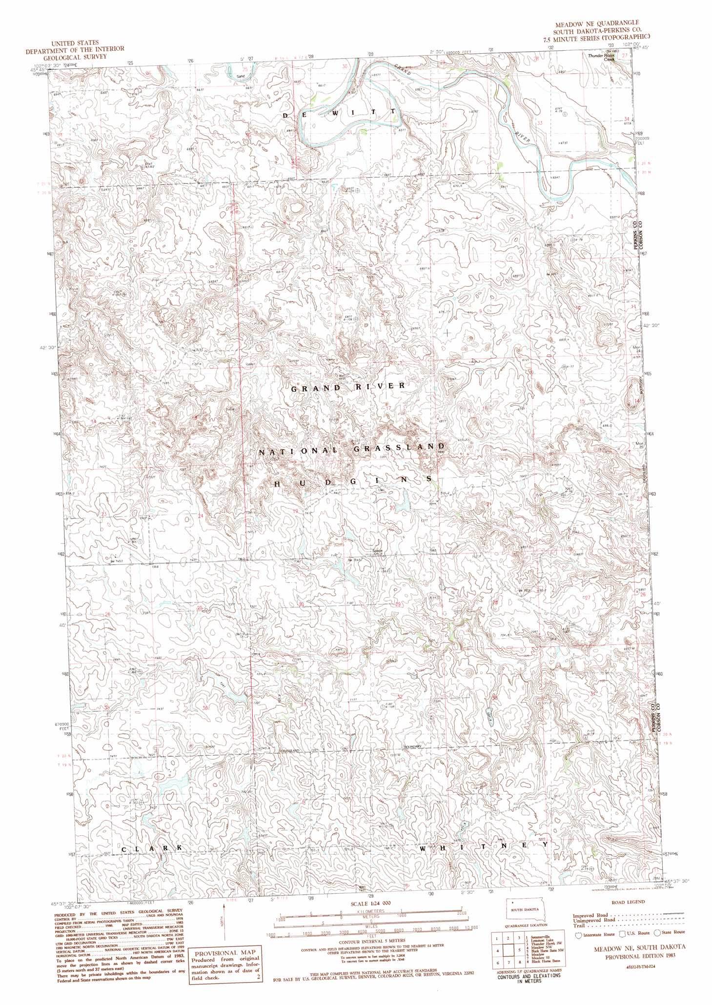
USGS Topo Quad 45102f1 - 1:24,000 scale
| Topo Map Name: | Meadow Ne |
| USGS Topo Quad ID: | 45102f1 |
| Print Size: | ca. 21 1/4" wide x 27" high |
| Southeast Coordinates: | 45.625° N latitude / 102° W longitude |
| Map Center Coordinates: | 45.6875° N latitude / 102.0625° W longitude |
| U.S. State: | SD |
| Filename: | o45102f1.jpg |
| Download Map JPG Image: | Meadow Ne topo map 1:24,000 scale |
| Map Type: | Topographic |
| Topo Series: | 7.5´ |
| Map Scale: | 1:24,000 |
| Source of Map Images: | United States Geological Survey (USGS) |
| Alternate Map Versions: |
Meadow NE SD 1983, updated 1984 Download PDF Buy paper map Meadow NE SD 1998, updated 2001 Download PDF Buy paper map Meadow NE SD 2012 Download PDF Buy paper map Meadow NE SD 2015 Download PDF Buy paper map |
| FStopo: | US Forest Service topo Meadow NE is available: Download FStopo PDF Download FStopo TIF |
1:24,000 Topo Quads surrounding Meadow Ne
White Butte |
Lemmon |
Lemmon Ne |
Thunder Hawk |
Keldron |
Haynes Se |
Sommerville |
Lemmon Lake |
Thunder Hawk Sw |
Thunder Hawk Se |
Bison Ne |
Meadow Nw |
Meadow Ne |
Black Horse Butte Nw |
Black Horse Butte Ne |
Box Car Buttes |
Meadow |
Meadow Se |
Black Horse Butte |
Twin Butte |
Chance |
Coal Springs Nw |
Coal Springs |
Glad Valley Nw |
Glad Valley |
> Back to 45102e1 at 1:100,000 scale
> Back to 45102a1 at 1:250,000 scale
> Back to U.S. Topo Maps home
Meadow Ne topo map: Gazetteer
Meadow Ne: Dams
Joe Wiesinger Dam elevation 715m 2345′Roy Brown Dam elevation 737m 2417′
Meadow Ne digital topo map on disk
Buy this Meadow Ne topo map showing relief, roads, GPS coordinates and other geographical features, as a high-resolution digital map file on DVD:
Eastern Montana & Western North Dakota
Buy digital topo maps: Eastern Montana & Western North Dakota