Deers Ears Butte North Topo Map South Dakota
To zoom in, hover over the map of Deers Ears Butte North
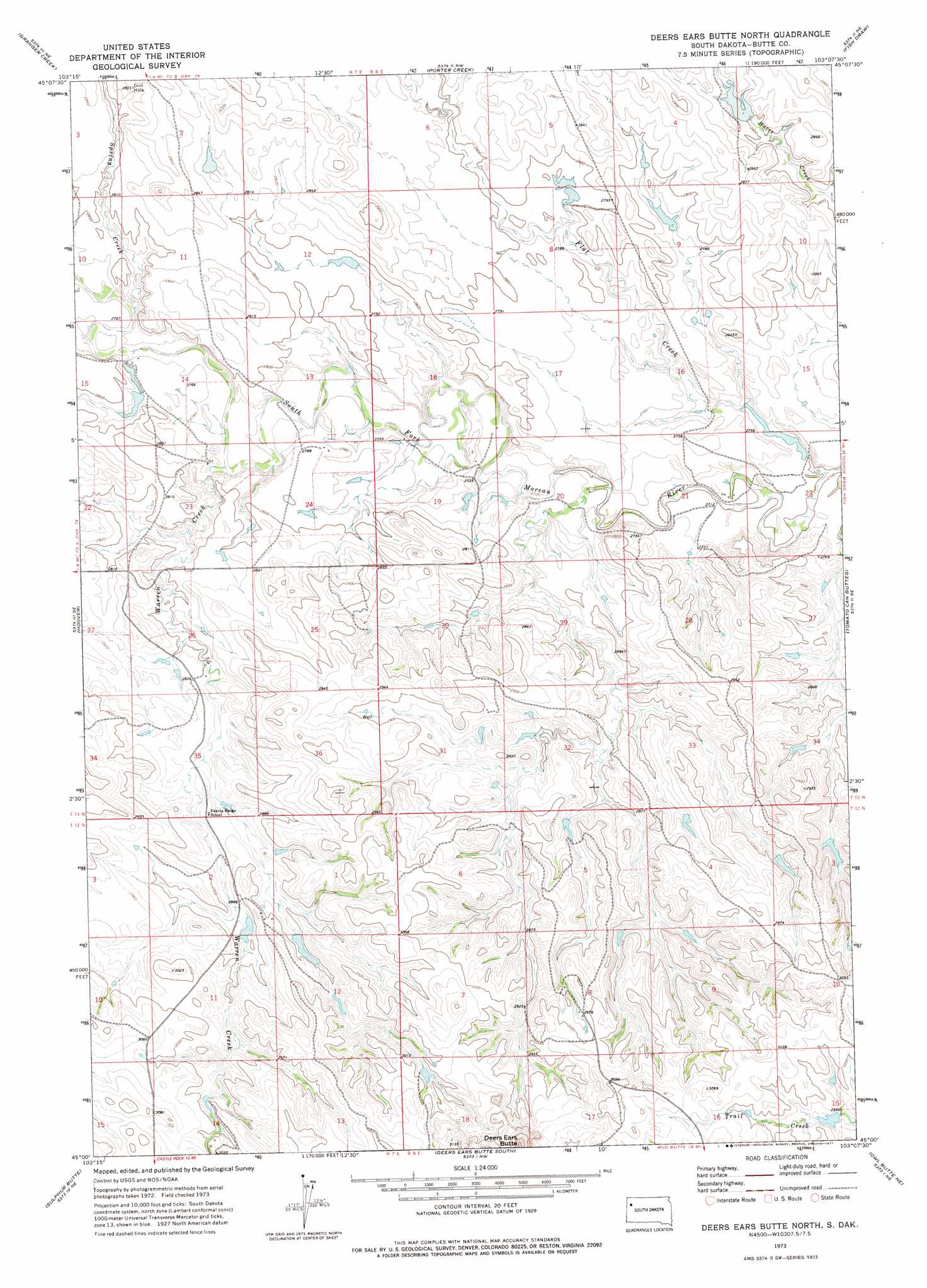
USGS Topo Quad 45103a2 - 1:24,000 scale
| Topo Map Name: | Deers Ears Butte North |
| USGS Topo Quad ID: | 45103a2 |
| Print Size: | ca. 21 1/4" wide x 27" high |
| Southeast Coordinates: | 45° N latitude / 103.125° W longitude |
| Map Center Coordinates: | 45.0625° N latitude / 103.1875° W longitude |
| U.S. State: | SD |
| Filename: | o45103a2.jpg |
| Download Map JPG Image: | Deers Ears Butte North topo map 1:24,000 scale |
| Map Type: | Topographic |
| Topo Series: | 7.5´ |
| Map Scale: | 1:24,000 |
| Source of Map Images: | United States Geological Survey (USGS) |
| Alternate Map Versions: |
Deers Ears Butte North SD 1973, updated 1977 Download PDF Buy paper map Deers Ears Butte North SD 2012 Download PDF Buy paper map Deers Ears Butte North SD 2015 Download PDF Buy paper map |
1:24,000 Topo Quads surrounding Deers Ears Butte North
Roundup Butte |
Bams Butte Se |
Irish Butte |
Sheep Mountain |
Sorum Sw |
Lone Tree Draw East |
Granger Creek |
Porter Creek |
Fish Draw |
|
Haystack Butte |
Hoover |
Deers Ears Butte North |
Tomato Can Buttes |
|
Castle Rock |
Sulphur Butte |
Deers Ears Butte South |
Owl Butte Ne |
Camp Creek |
Newell Lake |
Schoepp Flat |
Owl Butte |
Owl Butte Se |
Table Top Butte |
> Back to 45103a1 at 1:100,000 scale
> Back to 45102a1 at 1:250,000 scale
> Back to U.S. Topo Maps home
Deers Ears Butte North topo map: Gazetteer
Deers Ears Butte North: Dams
George Erk Dam Number 1 elevation 883m 2896′Deers Ears Butte North: Streams
Flat Creek elevation 823m 2700′Spring Creek elevation 842m 2762′
Warren Creek elevation 835m 2739′
Deers Ears Butte North digital topo map on disk
Buy this Deers Ears Butte North topo map showing relief, roads, GPS coordinates and other geographical features, as a high-resolution digital map file on DVD:
Eastern Montana & Western North Dakota
Buy digital topo maps: Eastern Montana & Western North Dakota