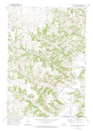
Bradshaw Creek Topo Map Montana
To zoom in, hover over the map of Bradshaw Creek
USGS Topo Quad 45105a8 - 1:24,000 scale
| Topo Map Name: | Bradshaw Creek |
| USGS Topo Quad ID: | 45105a8 |
| Print Size: | ca. 21 1/4" wide x 27" high |
| Southeast Coordinates: | 45° N latitude / 105.875° W longitude |
| Map Center Coordinates: | 45.0625° N latitude / 105.9375° W longitude |
| U.S. States: | MT, WY |
| Filename: | o45105a8.jpg |
| Download Map JPG Image: | Bradshaw Creek topo map 1:24,000 scale |
| Map Type: | Topographic |
| Topo Series: | 7.5´ |
| Map Scale: | 1:24,000 |
| Source of Map Images: | United States Geological Survey (USGS) |
| Alternate Map Versions: |
Bradshaw Creek MT 1970, updated 1974 Download PDF Buy paper map Bradshaw Creek MT 2011 Download PDF Buy paper map Bradshaw Creek MT 2014 Download PDF Buy paper map |
1:24,000 Topo Quads surrounding Bradshaw Creek
> Back to 45105a1 at 1:100,000 scale
> Back to 45104a1 at 1:250,000 scale
> Back to U.S. Topo Maps home
Bradshaw Creek topo map: Gazetteer
Bradshaw Creek: Ranges
Spear Hills elevation 1126m 3694′Bradshaw Creek: Streams
Bitter Creek elevation 1028m 3372′Bitter Creek elevation 1029m 3375′
Bradshaw Creek elevation 1030m 3379′
Dry Creek elevation 1028m 3372′
Rough Creek elevation 1025m 3362′
Timber Creek elevation 1055m 3461′
Trail Creek elevation 1031m 3382′
Bradshaw Creek: Summits
Black Eagle Butte elevation 1246m 4087′Bradshaw Creek: Wells
04N47E28CCDB01 Well elevation 1069m 3507′08S48E19DA__01 Well elevation 1087m 3566′
09S48E07BC__01 Well elevation 1056m 3464′
Bradshaw Creek digital topo map on disk
Buy this Bradshaw Creek topo map showing relief, roads, GPS coordinates and other geographical features, as a high-resolution digital map file on DVD:
Eastern Montana & Western North Dakota
Buy digital topo maps: Eastern Montana & Western North Dakota


