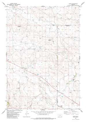
Boyes Topo Map Montana
To zoom in, hover over the map of Boyes
USGS Topo Quad 45105c1 - 1:24,000 scale
| Topo Map Name: | Boyes |
| USGS Topo Quad ID: | 45105c1 |
| Print Size: | ca. 21 1/4" wide x 27" high |
| Southeast Coordinates: | 45.25° N latitude / 105° W longitude |
| Map Center Coordinates: | 45.3125° N latitude / 105.0625° W longitude |
| U.S. State: | MT |
| Filename: | o45105c1.jpg |
| Download Map JPG Image: | Boyes topo map 1:24,000 scale |
| Map Type: | Topographic |
| Topo Series: | 7.5´ |
| Map Scale: | 1:24,000 |
| Source of Map Images: | United States Geological Survey (USGS) |
| Alternate Map Versions: |
Boyes MT 1982, updated 1982 Download PDF Buy paper map Boyes MT 2011 Download PDF Buy paper map Boyes MT 2014 Download PDF Buy paper map |
1:24,000 Topo Quads surrounding Boyes
> Back to 45105a1 at 1:100,000 scale
> Back to 45104a1 at 1:250,000 scale
> Back to U.S. Topo Maps home
Boyes topo map: Gazetteer
Boyes: Populated Places
Boyes elevation 1015m 3330′Boyes: Post Offices
Boyes Post Office elevation 1014m 3326′Boyes: Streams
Coyote Creek elevation 1031m 3382′Dick Creek elevation 1044m 3425′
Scott Creek elevation 983m 3225′
Spring Creek elevation 1003m 3290′
Tom Creek elevation 1006m 3300′
Boyes: Summits
Deranleau Butte elevation 1094m 3589′Morellas Butte elevation 1118m 3667′
Boyes: Wells
05S53E25BDD_01 Well elevation 1009m 3310′05S54E28DBB_01 Well elevation 1059m 3474′
05S54E34DDAD01 Well elevation 1054m 3458′
05S54E36CBB_01 Well elevation 1110m 3641′
06S54E01CCCB01 Well elevation 1074m 3523′
06S54E09ADAC01 Well elevation 1010m 3313′
06S54E12ACAC01 Well elevation 1068m 3503′
06S54E22CA__01 Well elevation 995m 3264′
06S54E22CDC_01 Well elevation 984m 3228′
06S54E28BDBB01 Well elevation 989m 3244′
06S54E28DAA_01 Well elevation 1000m 3280′
06S55E05ADCA01 Well elevation 1102m 3615′
06S55E06CDA_01 Well elevation 1063m 3487′
06S55E07ABC_01 Well elevation 1092m 3582′
06S55E18BC__01 Well elevation 1091m 3579′
06S55E20CAAD01 Well elevation 1043m 3421′
06S55E31ACDC01 Well elevation 1019m 3343′
06S55E31BC__01 Well elevation 1017m 3336′
06S55E31CCAC01 Well elevation 1013m 3323′
06S55E31CCC_01 Well elevation 1013m 3323′
06S55E31CCDB01 Well elevation 1013m 3323′
07S54E03AADB01 Well elevation 1025m 3362′
07S55E05BB__01 Well elevation 1027m 3369′
Boyes digital topo map on disk
Buy this Boyes topo map showing relief, roads, GPS coordinates and other geographical features, as a high-resolution digital map file on DVD:
Eastern Montana & Western North Dakota
Buy digital topo maps: Eastern Montana & Western North Dakota


