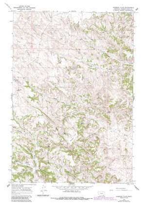
Hodsdon Flats Topo Map Montana
To zoom in, hover over the map of Hodsdon Flats
USGS Topo Quad 45105c7 - 1:24,000 scale
| Topo Map Name: | Hodsdon Flats |
| USGS Topo Quad ID: | 45105c7 |
| Print Size: | ca. 21 1/4" wide x 27" high |
| Southeast Coordinates: | 45.25° N latitude / 105.75° W longitude |
| Map Center Coordinates: | 45.3125° N latitude / 105.8125° W longitude |
| U.S. State: | MT |
| Filename: | o45105c7.jpg |
| Download Map JPG Image: | Hodsdon Flats topo map 1:24,000 scale |
| Map Type: | Topographic |
| Topo Series: | 7.5´ |
| Map Scale: | 1:24,000 |
| Source of Map Images: | United States Geological Survey (USGS) |
| Alternate Map Versions: |
Hodsdon Flats MT 1966, updated 1969 Download PDF Buy paper map Hodsdon Flats MT 1966, updated 1986 Download PDF Buy paper map Hodsdon Flats MT 1995, updated 1998 Download PDF Buy paper map Hodsdon Flats MT 2011 Download PDF Buy paper map Hodsdon Flats MT 2014 Download PDF Buy paper map |
| FStopo: | US Forest Service topo Hodsdon Flats is available: Download FStopo PDF Download FStopo TIF |
1:24,000 Topo Quads surrounding Hodsdon Flats
> Back to 45105a1 at 1:100,000 scale
> Back to 45104a1 at 1:250,000 scale
> Back to U.S. Topo Maps home
Hodsdon Flats topo map: Gazetteer
Hodsdon Flats: Dams
Gay Number 1 Dam elevation 1067m 3500′Gay Number 2 Dam elevation 1179m 3868′
Hodsdon Flats: Flats
Hodsdon Flats elevation 1228m 4028′Hodsdon Flats: Reservoirs
Callaway Reservoir elevation 1148m 3766′Turtle Reservoir elevation 1205m 3953′
Hodsdon Flats: Springs
Fence Corner Spring elevation 1135m 3723′Harper Spring elevation 1102m 3615′
Mason Spring elevation 1130m 3707′
Hodsdon Flats: Streams
Mason Prong elevation 1098m 3602′North Fork Cache Creek elevation 1103m 3618′
South Fork Cache Creek elevation 1103m 3618′
Hodsdon Flats: Summits
Bailey Hill elevation 1282m 4206′Gardner Butte elevation 1306m 4284′
Hodsdon Flats: Valleys
Coal Draw elevation 1124m 3687′Deadman Draw elevation 1159m 3802′
North Fork Fire Gulch elevation 1069m 3507′
Plum Coulee elevation 1150m 3772′
Sawmill Draw elevation 1103m 3618′
Schwind Draw elevation 1085m 3559′
Turtle Draw elevation 1123m 3684′
Hodsdon Flats: Wells
05S48E29CC__01 Well elevation 1231m 4038′06N48E17BABA01 Well elevation 1058m 3471′
06S48E09BBDA01 Well elevation 1236m 4055′
06S48E23ADAB01 Well elevation 1121m 3677′
06S49E30BACB01 Well elevation 1081m 3546′
06S51E07CABC01 Well elevation 1160m 3805′
Hodsdon Flats digital topo map on disk
Buy this Hodsdon Flats topo map showing relief, roads, GPS coordinates and other geographical features, as a high-resolution digital map file on DVD:
Eastern Montana & Western North Dakota
Buy digital topo maps: Eastern Montana & Western North Dakota


