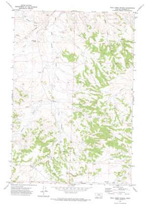
Trail Creek School Topo Map Montana
To zoom in, hover over the map of Trail Creek School
USGS Topo Quad 45106h7 - 1:24,000 scale
| Topo Map Name: | Trail Creek School |
| USGS Topo Quad ID: | 45106h7 |
| Print Size: | ca. 21 1/4" wide x 27" high |
| Southeast Coordinates: | 45.875° N latitude / 106.75° W longitude |
| Map Center Coordinates: | 45.9375° N latitude / 106.8125° W longitude |
| U.S. State: | MT |
| Filename: | o45106h7.jpg |
| Download Map JPG Image: | Trail Creek School topo map 1:24,000 scale |
| Map Type: | Topographic |
| Topo Series: | 7.5´ |
| Map Scale: | 1:24,000 |
| Source of Map Images: | United States Geological Survey (USGS) |
| Alternate Map Versions: |
Trail Creek School MT 1971, updated 1974 Download PDF Buy paper map Trail Creek School MT 2011 Download PDF Buy paper map Trail Creek School MT 2014 Download PDF Buy paper map |
1:24,000 Topo Quads surrounding Trail Creek School
> Back to 45106e1 at 1:100,000 scale
> Back to 45106a1 at 1:250,000 scale
> Back to U.S. Topo Maps home
Trail Creek School topo map: Gazetteer
Trail Creek School: Dams
Ashenhurst Number 2 Dam elevation 940m 3083′Wildhorse Pasture Dam elevation 936m 3070′
Trail Creek School: Populated Places
Castle Rock (historical) elevation 1071m 3513′Trail Creek School: Springs
02N39E02CABB01 Spring elevation 951m 3120′02N39E14BDBB02 Spring elevation 971m 3185′
02N39E24BDAA01 Spring elevation 976m 3202′
02N39E36CDDB01 Spring elevation 1038m 3405′
02N40E18DABD01 Spring elevation 999m 3277′
02N40E28CCBB01 Spring elevation 1042m 3418′
02N40E33CCDD01 Spring elevation 1042m 3418′
03N40E31DADC01 Spring elevation 964m 3162′
Trail Creek School: Streams
Donley Creek elevation 964m 3162′Middle Fork Trail Creek elevation 926m 3038′
North Fork Trail Creek elevation 921m 3021′
Robbie Creek elevation 952m 3123′
Trail Creek elevation 915m 3001′
Trail Creek School: Wells
02N39E03CDBB01 Well elevation 974m 3195′02N39E12C___01 Well elevation 952m 3123′
02N39E12CCCB01 Well elevation 964m 3162′
02N39E12CCCD01 Well elevation 957m 3139′
02N39E12CCDB01 Well elevation 956m 3136′
02N39E14BDBB01 Well elevation 971m 3185′
02N39E23CAA_01 Well elevation 1068m 3503′
02N39E23CAAB01 Well elevation 1016m 3333′
02N39E24CDAB01 Well elevation 993m 3257′
02N39E24CDDD01 Well elevation 999m 3277′
02N39E25ACDC01 Well elevation 1010m 3313′
02N39E34ADBB01 Well elevation 1049m 3441′
02N39E34DADB01 Well elevation 1056m 3464′
02N40E06AABB01 Well elevation 971m 3185′
02N40E06AABB02 Well elevation 971m 3185′
02N40E06CBDB01 Well elevation 963m 3159′
02N40E07BDCB01 Well elevation 972m 3188′
02N40E18DBB_01 Well elevation 986m 3234′
02N40E28AADD01 Well elevation 1028m 3372′
02N40E29CDCC01 Well elevation 1038m 3405′
02N40E30BAAC01 Well elevation 999m 3277′
02N40E31DCCD01 Well elevation 1066m 3497′
02N40E32BBAB01 Well elevation 1035m 3395′
02N40E32BBDA01 Well elevation 1053m 3454′
02N40E33DAAA01 Well elevation 1044m 3425′
03N39E36BACD01 Well elevation 951m 3120′
03N40E19DB__01 Well elevation 980m 3215′
Trail Creek School digital topo map on disk
Buy this Trail Creek School topo map showing relief, roads, GPS coordinates and other geographical features, as a high-resolution digital map file on DVD:
Eastern Montana & Western North Dakota
Buy digital topo maps: Eastern Montana & Western North Dakota


