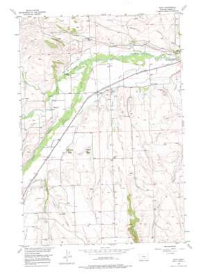
Boyd Topo Map Montana
To zoom in, hover over the map of Boyd
USGS Topo Quad 45109d1 - 1:24,000 scale
| Topo Map Name: | Boyd |
| USGS Topo Quad ID: | 45109d1 |
| Print Size: | ca. 21 1/4" wide x 27" high |
| Southeast Coordinates: | 45.375° N latitude / 109° W longitude |
| Map Center Coordinates: | 45.4375° N latitude / 109.0625° W longitude |
| U.S. State: | MT |
| Filename: | o45109d1.jpg |
| Download Map JPG Image: | Boyd topo map 1:24,000 scale |
| Map Type: | Topographic |
| Topo Series: | 7.5´ |
| Map Scale: | 1:24,000 |
| Source of Map Images: | United States Geological Survey (USGS) |
| Alternate Map Versions: |
Boyd MT 1956, updated 1958 Download PDF Buy paper map Boyd MT 1956, updated 1976 Download PDF Buy paper map Boyd MT 2011 Download PDF Buy paper map Boyd MT 2014 Download PDF Buy paper map |
1:24,000 Topo Quads surrounding Boyd
> Back to 45109a1 at 1:100,000 scale
> Back to 45108a1 at 1:250,000 scale
> Back to U.S. Topo Maps home
Boyd topo map: Gazetteer
Boyd: Canals
Carbonado Ditch elevation 1216m 3989′Gruel Ditch elevation 1257m 4124′
Highline Ditch elevation 1318m 4324′
Hoyle Ditch elevation 1231m 4038′
Leimback Ditch elevation 1201m 3940′
Rooney Ditch elevation 1311m 4301′
Sabo-Johnson-Curry Ditch elevation 1221m 4005′
Ward Ditch elevation 1256m 4120′
Boyd: Mines
Carbonado Mine elevation 1203m 3946′Boyd: Populated Places
Boyd elevation 1230m 4035′Boyd: Post Offices
Boyd Post Office (historical) elevation 1230m 4035′Carbonado Post Office (historical) elevation 1197m 3927′
Boyd: Springs
Chappel Spring elevation 1335m 4379′Boyd: Streams
Chappel Creek elevation 1311m 4301′Cow Creek elevation 1168m 3832′
Grove Creek elevation 1232m 4041′
Heifer Creek elevation 1236m 4055′
Lone Tree Creek elevation 1172m 3845′
Red Lodge Creek elevation 1204m 3950′
Stanley Creek elevation 1251m 4104′
Wallila Coulee elevation 1244m 4081′
Boyd: Summits
Blanchard Butte elevation 1330m 4363′Stormitt Butte elevation 1359m 4458′
Boyd: Valleys
Dry Coulee elevation 1249m 4097′Boyd: Wells
04S22E17CBBA01 Well elevation 1252m 4107′04S22E18ADCA01 Well elevation 1248m 4094′
04S22E28BBDD01 Well elevation 1200m 3937′
05S21E01CDAA01 Well elevation 1330m 4363′
05S21E14BBCA01 Well elevation 1317m 4320′
Boyd digital topo map on disk
Buy this Boyd topo map showing relief, roads, GPS coordinates and other geographical features, as a high-resolution digital map file on DVD:


