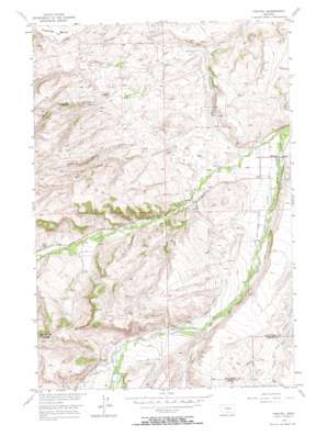
Fishtail Topo Map Montana
To zoom in, hover over the map of Fishtail
USGS Topo Quad 45109d5 - 1:24,000 scale
| Topo Map Name: | Fishtail |
| USGS Topo Quad ID: | 45109d5 |
| Print Size: | ca. 21 1/4" wide x 27" high |
| Southeast Coordinates: | 45.375° N latitude / 109.5° W longitude |
| Map Center Coordinates: | 45.4375° N latitude / 109.5625° W longitude |
| U.S. State: | MT |
| Filename: | o45109d5.jpg |
| Download Map JPG Image: | Fishtail topo map 1:24,000 scale |
| Map Type: | Topographic |
| Topo Series: | 7.5´ |
| Map Scale: | 1:24,000 |
| Source of Map Images: | United States Geological Survey (USGS) |
| Alternate Map Versions: |
Fishtail MT 1956, updated 1957 Download PDF Buy paper map Fishtail MT 1956, updated 1973 Download PDF Buy paper map Fishtail MT 2011 Download PDF Buy paper map Fishtail MT 2014 Download PDF Buy paper map |
1:24,000 Topo Quads surrounding Fishtail
> Back to 45109a1 at 1:100,000 scale
> Back to 45108a1 at 1:250,000 scale
> Back to U.S. Topo Maps home
Fishtail topo map: Gazetteer
Fishtail: Benches
Fladberg Bench elevation 1519m 4983′Fishtail: Canals
Cushing Ditch elevation 1473m 4832′Dempster Ditch elevation 1374m 4507′
Hogan Ditch elevation 1414m 4639′
Magee Ditch elevation 1356m 4448′
Miller Ditch elevation 1570m 5150′
Nels Thomas Ditch elevation 1408m 4619′
Phillips Ditch elevation 1543m 5062′
Spray Garwin Ditch elevation 1473m 4832′
West Rosebud Ditch elevation 1403m 4603′
Yates Ditch elevation 1421m 4662′
Fishtail: Populated Places
Fishtail elevation 1359m 4458′Fishtail: Post Offices
Fishtail Post Office elevation 1359m 4458′Fishtail: Streams
Davidson Creek elevation 1329m 4360′Fiddler Creek elevation 1542m 5059′
Fishtail Creek elevation 1337m 4386′
Ingersoll Creek elevation 1470m 4822′
North Fork Grove Creek elevation 1366m 4481′
South Fork Grove Creek elevation 1368m 4488′
West Antelope Creek elevation 1468m 4816′
Fishtail: Summits
Nellies Twin Buttes elevation 1811m 5941′Fishtail: Valleys
Arney Canyon elevation 1397m 4583′Box Canyon elevation 1414m 4639′
Murphy Canyon elevation 1431m 4694′
Fishtail: Wells
04S18E18ADAA01 Well elevation 1339m 4393′04S18E20CCCC01 Well elevation 1392m 4566′
04S18E28CABB01 Well elevation 1351m 4432′
04S18E28DADD01 Well elevation 1363m 4471′
04S18E28DCAA01 Well elevation 1357m 4452′
04S18E32BCDC01 Well elevation 1404m 4606′
05S17E02CBBD01 Well elevation 1467m 4812′
05S17E13CDDB01 Well elevation 1526m 5006′
05S17E23ABBC01 Well elevation 1561m 5121′
05S18E04CBDC01 Well elevation 1412m 4632′
05S18E06BBBD01 Well elevation 1501m 4924′
05S18E17DAAA01 Well elevation 1523m 4996′
Fishtail digital topo map on disk
Buy this Fishtail topo map showing relief, roads, GPS coordinates and other geographical features, as a high-resolution digital map file on DVD:


