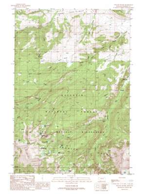
Willow Swamp Topo Map Montana
To zoom in, hover over the map of Willow Swamp
USGS Topo Quad 45111d4 - 1:24,000 scale
| Topo Map Name: | Willow Swamp |
| USGS Topo Quad ID: | 45111d4 |
| Print Size: | ca. 21 1/4" wide x 27" high |
| Southeast Coordinates: | 45.375° N latitude / 111.375° W longitude |
| Map Center Coordinates: | 45.4375° N latitude / 111.4375° W longitude |
| U.S. State: | MT |
| Filename: | o45111d4.jpg |
| Download Map JPG Image: | Willow Swamp topo map 1:24,000 scale |
| Map Type: | Topographic |
| Topo Series: | 7.5´ |
| Map Scale: | 1:24,000 |
| Source of Map Images: | United States Geological Survey (USGS) |
| Alternate Map Versions: |
Willow Swamp MT 1988, updated 1989 Download PDF Buy paper map Willow Swamp MT 1988, updated 1989 Download PDF Buy paper map Willow Swamp MT 2000, updated 2005 Download PDF Buy paper map Willow Swamp MT 2011 Download PDF Buy paper map Willow Swamp MT 2014 Download PDF Buy paper map |
| FStopo: | US Forest Service topo Willow Swamp is available: Download FStopo PDF Download FStopo TIF |
1:24,000 Topo Quads surrounding Willow Swamp
> Back to 45111a1 at 1:100,000 scale
> Back to 45110a1 at 1:250,000 scale
> Back to U.S. Topo Maps home
Willow Swamp topo map: Gazetteer
Willow Swamp: Basins
Newell Basin elevation 1881m 6171′Willow Swamp: Falls
Pioneer Falls elevation 2060m 6758′Willow Swamp: Lakes
Big Brother Lake elevation 2543m 8343′Chiquita Lake elevation 2678m 8786′
Hermit Lake elevation 2607m 8553′
Jerome Rock Lakes elevation 2742m 8996′
Lake Solitude elevation 2719m 8920′
Little Brother Lake elevation 2650m 8694′
Little Sister Lake elevation 2691m 8828′
Lower Falls Creek Lake elevation 2618m 8589′
Marcheta Lake elevation 2775m 9104′
Margo Lake elevation 2619m 8592′
Second Lower Falls Creek Lake elevation 2685m 8809′
Upper Falls Creek Lake elevation 2664m 8740′
Willow Swamp: Mines
Placer Creek Mine elevation 2352m 7716′Willow Swamp: Post Offices
Spanish Post Office (historical) elevation 1766m 5793′Willow Swamp: Ranges
Spanish Peaks elevation 2573m 8441′Willow Swamp: Streams
Alder Creek elevation 2295m 7529′Camp Creek elevation 2004m 6574′
Cuff Creek elevation 1768m 5800′
Falls Creek elevation 1952m 6404′
Placer Creek elevation 2099m 6886′
South Fork Cherry Creek elevation 1905m 6250′
Sweden Creek elevation 1834m 6017′
Willow Swamp Creek elevation 1911m 6269′
Willow Swamp: Swamps
Willow Swamp elevation 2109m 6919′Willow Swamp digital topo map on disk
Buy this Willow Swamp topo map showing relief, roads, GPS coordinates and other geographical features, as a high-resolution digital map file on DVD:


