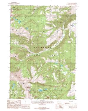
Potosi Peak Topo Map Montana
To zoom in, hover over the map of Potosi Peak
USGS Topo Quad 45111e8 - 1:24,000 scale
| Topo Map Name: | Potosi Peak |
| USGS Topo Quad ID: | 45111e8 |
| Print Size: | ca. 21 1/4" wide x 27" high |
| Southeast Coordinates: | 45.5° N latitude / 111.875° W longitude |
| Map Center Coordinates: | 45.5625° N latitude / 111.9375° W longitude |
| U.S. State: | MT |
| Filename: | o45111e8.jpg |
| Download Map JPG Image: | Potosi Peak topo map 1:24,000 scale |
| Map Type: | Topographic |
| Topo Series: | 7.5´ |
| Map Scale: | 1:24,000 |
| Source of Map Images: | United States Geological Survey (USGS) |
| Alternate Map Versions: |
Potosi Peak MT 1988, updated 1988 Download PDF Buy paper map Potosi Peak MT 1988, updated 1988 Download PDF Buy paper map Potosi Peak MT 1997, updated 2002 Download PDF Buy paper map Potosi Peak MT 2011 Download PDF Buy paper map Potosi Peak MT 2014 Download PDF Buy paper map |
| FStopo: | US Forest Service topo Potosi Peak is available: Download FStopo PDF Download FStopo TIF |
1:24,000 Topo Quads surrounding Potosi Peak
> Back to 45111e1 at 1:100,000 scale
> Back to 45110a1 at 1:250,000 scale
> Back to U.S. Topo Maps home
Potosi Peak topo map: Gazetteer
Potosi Peak: Dams
Albro Dam elevation 2688m 8818′Deep Lake Dam elevation 2680m 8792′
Hollowtop Lake Dam elevation 2604m 8543′
Lower Branham Dam elevation 2672m 8766′
Upper Branham Dam elevation 2681m 8795′
Potosi Peak: Lakes
Branham Lakes elevation 2681m 8795′Deep Lake elevation 2629m 8625′
Hollow Top Lake elevation 2604m 8543′
Skytop Lake elevation 2702m 8864′
Sureshot Lake elevation 2190m 7185′
Twin Lakes elevation 2522m 8274′
Upper Mason Lake elevation 2654m 8707′
Upper Sureshot Lake elevation 2226m 7303′
Potosi Peak: Mines
Belle Mine elevation 2571m 8435′Beulrh Mine elevation 2627m 8618′
Beulrh Mine elevation 2628m 8622′
NE NE Section 23 Mine elevation 2026m 6646′
New Deal Mine elevation 2537m 8323′
New Deal Mine elevation 2542m 8339′
Potosi Peak Tungsten Mine elevation 2588m 8490′
Tungsten Mine elevation 2393m 7851′
Potosi Peak: Ranges
Tobacco Root Mountains elevation 2285m 7496′Potosi Peak: Reservoirs
Albro Lake elevation 2691m 8828′Camp Creek Reservoir elevation 2121m 6958′
Camp Reservoir elevation 2122m 6961′
Deep Lake elevation 2604m 8543′
Lower Branham Lake elevation 2672m 8766′
Upper Branham Lake elevation 2681m 8795′
Potosi Peak: Springs
02S01W07CAB_02 Spring elevation 1852m 6076′02S02W07CAB_01 Spring elevation 1855m 6085′
02S02W07CAB_03 Spring elevation 1858m 6095′
02S02W07CAB_04 Spring elevation 1858m 6095′
02S02W07CAB_05 Spring elevation 1862m 6108′
02S02W07CAB_06 Spring elevation 1871m 6138′
02S02W07CAB_08 Spring elevation 1854m 6082′
Potosi Hot Springs elevation 1855m 6085′
Warm Springs elevation 1868m 6128′
Potosi Peak: Streams
Potosi Creek elevation 1824m 5984′Rock Creek elevation 1841m 6040′
Potosi Peak: Summits
Branham Peaks elevation 2956m 9698′Lady of the Lake Peak elevation 3110m 10203′
Mine Peak elevation 2957m 9701′
Mount Bradley elevation 3142m 10308′
Mount Bradley elevation 3142m 10308′
Potosi Peak elevation 3088m 10131′
Potosi Peak: Wells
10N03W27CADB01 Well elevation 2718m 8917′Potosi Peak digital topo map on disk
Buy this Potosi Peak topo map showing relief, roads, GPS coordinates and other geographical features, as a high-resolution digital map file on DVD:


