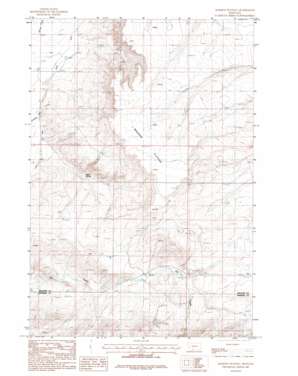
Madison Plateau Topo Map Montana
To zoom in, hover over the map of Madison Plateau
USGS Topo Quad 45111f4 - 1:24,000 scale
| Topo Map Name: | Madison Plateau |
| USGS Topo Quad ID: | 45111f4 |
| Print Size: | ca. 21 1/4" wide x 27" high |
| Southeast Coordinates: | 45.625° N latitude / 111.375° W longitude |
| Map Center Coordinates: | 45.6875° N latitude / 111.4375° W longitude |
| U.S. State: | MT |
| Filename: | o45111f4.jpg |
| Download Map JPG Image: | Madison Plateau topo map 1:24,000 scale |
| Map Type: | Topographic |
| Topo Series: | 7.5´ |
| Map Scale: | 1:24,000 |
| Source of Map Images: | United States Geological Survey (USGS) |
| Alternate Map Versions: |
Madison Plateau MT 1987, updated 1987 Download PDF Buy paper map Madison Plateau MT 2011 Download PDF Buy paper map Madison Plateau MT 2014 Download PDF Buy paper map |
1:24,000 Topo Quads surrounding Madison Plateau
> Back to 45111e1 at 1:100,000 scale
> Back to 45110a1 at 1:250,000 scale
> Back to U.S. Topo Maps home
Madison Plateau topo map: Gazetteer
Madison Plateau: Canals
Jorgenson Ditch (historical) elevation 1306m 4284′Sloan Ditch elevation 1317m 4320′
Madison Plateau: Plains
Madison Plateau elevation 1571m 5154′Madison Plateau: Post Offices
Hyde Post Office (historical) elevation 1311m 4301′Windville Post Office (historical) elevation 1314m 4311′
Madison Plateau: Springs
Willow Springs elevation 1378m 4520′Madison Plateau: Wells
01S02E16DDA_01 Well elevation 1311m 4301′01S02E21DBDB01 Well elevation 1319m 4327′
01S02E22BCBC01 Well elevation 1322m 4337′
01S02E22BCCB01 Well elevation 1326m 4350′
01S02E22CCDA01 Well elevation 1367m 4484′
01S02E23BCBC01 Well elevation 1401m 4596′
01S02E29AAC_01 Well elevation 1311m 4301′
01S02E29DDDB01 Well elevation 1320m 4330′
01S02E35DA__01 Well elevation 1568m 5144′
01S03E18DA__01 Well elevation 1454m 4770′
02S02E01DD__01 Well elevation 1597m 5239′
02S03E06DA__01 Well elevation 1459m 4786′
02S03E06DACD01 Well elevation 1467m 4812′
02S03E07AA__01 Well elevation 1465m 4806′
02S03E19ACBC01 Well elevation 1435m 4708′
02S03E19BDAB01 Well elevation 1441m 4727′
Madison Plateau digital topo map on disk
Buy this Madison Plateau topo map showing relief, roads, GPS coordinates and other geographical features, as a high-resolution digital map file on DVD:


