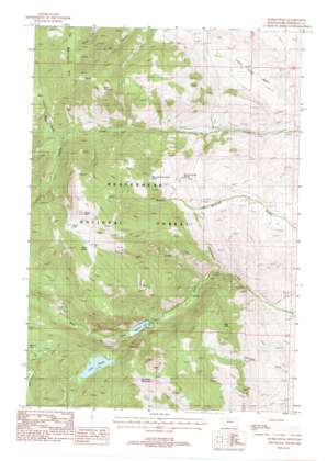
Storm Peak Topo Map Montana
To zoom in, hover over the map of Storm Peak
USGS Topo Quad 45112e7 - 1:24,000 scale
| Topo Map Name: | Storm Peak |
| USGS Topo Quad ID: | 45112e7 |
| Print Size: | ca. 21 1/4" wide x 27" high |
| Southeast Coordinates: | 45.5° N latitude / 112.75° W longitude |
| Map Center Coordinates: | 45.5625° N latitude / 112.8125° W longitude |
| U.S. State: | MT |
| Filename: | o45112e7.jpg |
| Download Map JPG Image: | Storm Peak topo map 1:24,000 scale |
| Map Type: | Topographic |
| Topo Series: | 7.5´ |
| Map Scale: | 1:24,000 |
| Source of Map Images: | United States Geological Survey (USGS) |
| Alternate Map Versions: |
Storm Peak MT 1988, updated 1988 Download PDF Buy paper map Storm Peak MT 1997, updated 2001 Download PDF Buy paper map Storm Peak MT 2011 Download PDF Buy paper map Storm Peak MT 2014 Download PDF Buy paper map |
| FStopo: | US Forest Service topo Storm Peak is available: Download FStopo PDF Download FStopo TIF |
1:24,000 Topo Quads surrounding Storm Peak
> Back to 45112e1 at 1:100,000 scale
> Back to 45112a1 at 1:250,000 scale
> Back to U.S. Topo Maps home
Storm Peak topo map: Gazetteer
Storm Peak: Basins
Louie Lowe Basin elevation 1920m 6299′Storm Peak: Channels
Dark Hole elevation 2031m 6663′Storm Peak: Dams
Agnes Lake Dam elevation 2286m 7500′Brownes Lake Dam elevation 2001m 6564′
Storm Peak: Lakes
Lake Agnes elevation 2284m 7493′Storm Peak: Mines
Ivanhoe Mine elevation 2140m 7020′Storm Peak: Parks
Storm Park elevation 2726m 8943′Storm Peak: Reservoirs
Brownes Lake elevation 2001m 6564′Lake Agnes elevation 2286m 7500′
Storm Peak: Springs
Browns Gulch Spring elevation 2113m 6932′Lelow Basin Spring Number Two elevation 1952m 6404′
Storm Spring elevation 2612m 8569′
Upper Browns Gulch Spring elevation 2371m 7778′
Storm Peak: Streams
Storm Park Creek elevation 1793m 5882′Storm Peak: Summits
Beals Mountain elevation 2736m 8976′Morrison Hill elevation 2759m 9051′
Storm Peak elevation 2884m 9461′
Sugarloaf Mountain elevation 2693m 8835′
Storm Peak: Valleys
Bear Gulch elevation 2178m 7145′Jacks Gulch elevation 1730m 5675′
Storm Peak digital topo map on disk
Buy this Storm Peak topo map showing relief, roads, GPS coordinates and other geographical features, as a high-resolution digital map file on DVD:


