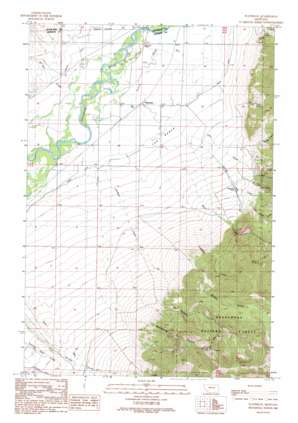
Waterloo Topo Map Montana
To zoom in, hover over the map of Waterloo
USGS Topo Quad 45112f2 - 1:24,000 scale
| Topo Map Name: | Waterloo |
| USGS Topo Quad ID: | 45112f2 |
| Print Size: | ca. 21 1/4" wide x 27" high |
| Southeast Coordinates: | 45.625° N latitude / 112.125° W longitude |
| Map Center Coordinates: | 45.6875° N latitude / 112.1875° W longitude |
| U.S. State: | MT |
| Filename: | o45112f2.jpg |
| Download Map JPG Image: | Waterloo topo map 1:24,000 scale |
| Map Type: | Topographic |
| Topo Series: | 7.5´ |
| Map Scale: | 1:24,000 |
| Source of Map Images: | United States Geological Survey (USGS) |
| Alternate Map Versions: |
Waterloo MT 1989, updated 1989 Download PDF Buy paper map Waterloo MT 1996, updated 1998 Download PDF Buy paper map Waterloo MT 2011 Download PDF Buy paper map Waterloo MT 2014 Download PDF Buy paper map |
| FStopo: | US Forest Service topo Waterloo is available: Download FStopo PDF Download FStopo TIF |
1:24,000 Topo Quads surrounding Waterloo
> Back to 45112e1 at 1:100,000 scale
> Back to 45112a1 at 1:250,000 scale
> Back to U.S. Topo Maps home
Waterloo topo map: Gazetteer
Waterloo: Benches
The Bench elevation 1371m 4498′Waterloo: Bridges
Parsons Bridge elevation 1359m 4458′Waterloo: Canals
Cornforth Ditch elevation 1581m 5187′Duffy Ditch elevation 1575m 5167′
Parrot Ditch elevation 1372m 4501′
Waterloo: Mines
Bumby Creek Mine elevation 1741m 5711′Mill Creek Mine elevation 1573m 5160′
Ohio Lode Mine elevation 2381m 7811′
Ohio Mine elevation 2306m 7565′
Shaky Spring Mine elevation 1554m 5098′
Strawn Mines elevation 2136m 7007′
Waterloo: Populated Places
Waterloo elevation 1360m 4461′Waterloo: Post Offices
Loomont Post Office (historical) elevation 1354m 4442′Waterloo Post Office (historical) elevation 1360m 4461′
Waterloo: Springs
Shaky Spring elevation 1600m 5249′Waterloo: Streams
Antimony Creek elevation 1543m 5062′Beall Creek elevation 1389m 4557′
Brooks Creek elevation 1520m 4986′
Hulbert Creek elevation 1374m 4507′
Little Cherry Creek elevation 1360m 4461′
Little Spring Creek elevation 1550m 5085′
Mill Creek elevation 1369m 4491′
Parsons Slough elevation 1352m 4435′
Spring Creek elevation 1368m 4488′
Wickham Creek elevation 1502m 4927′
Waterloo: Valleys
Bumby Gulch elevation 1585m 5200′Hellroaring Canyon elevation 1617m 5305′
Mill Canyon elevation 1586m 5203′
Waterloo: Wells
01S05W26ADCC01 Well elevation 1363m 4471′01S05W26DCD_01 Well elevation 1361m 4465′
Waterloo digital topo map on disk
Buy this Waterloo topo map showing relief, roads, GPS coordinates and other geographical features, as a high-resolution digital map file on DVD:


