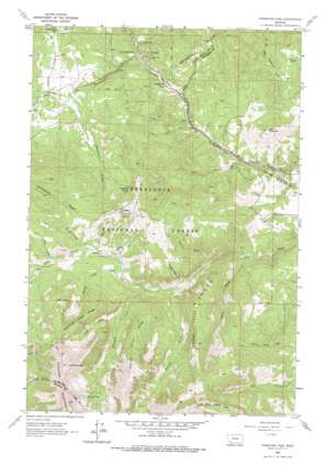
Pipestone Pass Topo Map Montana
To zoom in, hover over the map of Pipestone Pass
USGS Topo Quad 45112g4 - 1:24,000 scale
| Topo Map Name: | Pipestone Pass |
| USGS Topo Quad ID: | 45112g4 |
| Print Size: | ca. 21 1/4" wide x 27" high |
| Southeast Coordinates: | 45.75° N latitude / 112.375° W longitude |
| Map Center Coordinates: | 45.8125° N latitude / 112.4375° W longitude |
| U.S. State: | MT |
| Filename: | o45112g4.jpg |
| Download Map JPG Image: | Pipestone Pass topo map 1:24,000 scale |
| Map Type: | Topographic |
| Topo Series: | 7.5´ |
| Map Scale: | 1:24,000 |
| Source of Map Images: | United States Geological Survey (USGS) |
| Alternate Map Versions: |
Pipestone Pass MT 1963, updated 1966 Download PDF Buy paper map Pipestone Pass MT 1963, updated 1975 Download PDF Buy paper map Pipestone Pass MT 1996, updated 1998 Download PDF Buy paper map Pipestone Pass MT 2011 Download PDF Buy paper map Pipestone Pass MT 2014 Download PDF Buy paper map |
| FStopo: | US Forest Service topo Pipestone Pass is available: Download FStopo PDF Download FStopo TIF |
1:24,000 Topo Quads surrounding Pipestone Pass
> Back to 45112e1 at 1:100,000 scale
> Back to 45112a1 at 1:250,000 scale
> Back to U.S. Topo Maps home
Pipestone Pass topo map: Gazetteer
Pipestone Pass: Flats
Sperry Pasture elevation 2468m 8097′Pipestone Pass: Gaps
Pipestone Pass elevation 1974m 6476′Pipestone Pass: Lakes
Emerald Lake elevation 2666m 8746′Pipestone Pass: Mines
SE NW Section 18 Mine elevation 1987m 6519′Pipestone Pass: Populated Places
Donald elevation 1922m 6305′Red Mountain (historical) elevation 2294m 7526′
Pipestone Pass: Post Offices
Mount Horeb Post Office (historical) elevation 1886m 6187′Red Mountain Post Office (historical) elevation 2346m 7696′
Pipestone Pass: Ridges
Mammoth Creek Ridge elevation 2623m 8605′Pigeon Creek Ridge elevation 2410m 7906′
Roaring Brook Ridge elevation 2537m 8323′
Pipestone Pass: Springs
Elkhorn Spring elevation 1926m 6318′Limekiln Spring elevation 2194m 7198′
Pipestone Pass: Streams
Horse Creek elevation 2153m 7063′Mammoth Creek elevation 1966m 6450′
North Fork Mammoth Creek elevation 2187m 7175′
Pigeon Creek elevation 1854m 6082′
Roaring Brook elevation 1936m 6351′
Spring Creek elevation 2103m 6899′
Tanner Creek elevation 2113m 6932′
Wood Creek elevation 2207m 7240′
Pipestone Pass: Summits
Coyote Hill elevation 2235m 7332′Limekiln Hill elevation 2468m 8097′
Toll Mountain elevation 2240m 7349′
Pipestone Pass: Valleys
Mountain View Gulch elevation 1941m 6368′Toll Canyon elevation 1869m 6131′
Trainer Gulch elevation 1925m 6315′
Wilbur Gulch elevation 2135m 7004′
Pipestone Pass digital topo map on disk
Buy this Pipestone Pass topo map showing relief, roads, GPS coordinates and other geographical features, as a high-resolution digital map file on DVD:


